What is recorded here
On a NW-facing slope of the Slieveardagh hills with higher ground to the S and E and good views of lower ground to the NW and W. St Patrick's Well (TS048-042003-) lies just outside the graveyard wall to the SW of the church (TS048-042001-), with a stream running between the well and the graveyard (L 80m; Wth 20m) to the S and SE. The graveyard is enclosed by a roughly coursed limestone wall (H 1.2m; wall T 0.45m). There are 18th and 19th century headstones within the church interior and to the S of the church, but no grave-markers in the SE end of the graveyard. Two architectural fragments from the church have been reused as grave-markers, one of which is a chamfered window jamb with an iron glazing-bar hole.
Compiled by: Jean Farrelly
Date of upload: 26 August 2011
The monument record does not grant public access. Check the route and ask the landowner before entering private land.
- What survives
- Recorded monument
Places near here
 Ballinalacken Church (in ruins)Church · 11 yd
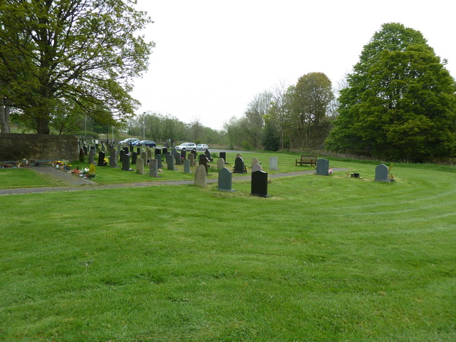 Grave YardHoly well · 32 yd
 RoadRoad, road/trackway · 263 yd
 Druids AltarMegalithic structure · 984 yd
 Waterloo HillMountain / peak · 1023 yd
 Mellisson CastleCastle, tower house · 2.0 mi
 Bog Castle (in Ruins)Castle, unclassified · 2.4 mi
 Derrynaflan TrailHeritage attraction · 2.4 mi
 Slieveardagh Heritage CentreVisitor information · 3.0 mi
 Bregaun HillMountain / peak · 3.7 mi
 Gobban Saer's GraveArchaeological place · 3.8 mi
 Sweet ChestnutSweet Chestnut · 4.4 mi