What is recorded here
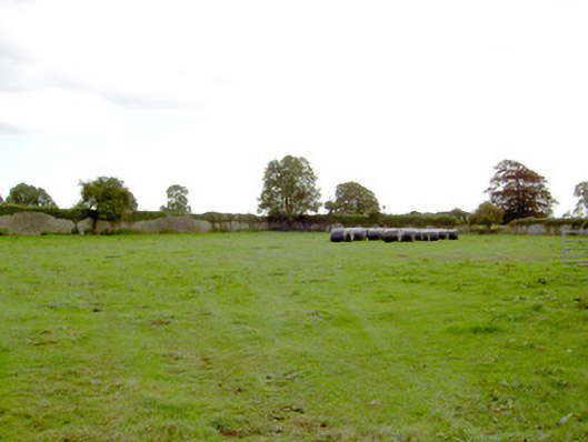
Associated with a medieval church (LF023-057001-). Depicted on the 1837 ed. of the OS 6-inch map as a kidney-shaped enclosure (55m E-W; 40m N-S). The S wall of the church formed part of the boundary at S. The church and graveyard were subsequently incorporated into a much-larger, rectangular graveyard (69m NW-SE; 59m NE-SW), probably in the second half of the 19th or early 20th century. It is defined by a stone wall. The earlier graveyard is defined by a bank of earth and stone with an external fosse and remains of it are visible within the larger graveyard. It is best preserved from N-E where the fosse is evident. A gap in the bank in the N sector may mark the original entrance. The majority of the memorials are located in the earlier graveyard and date from the 18th to the 20th centuries. (ITA Survey 1944; Lennon 2005)
Compiled by: Patrick F. O'Donovan, Caimin O'Brien
Date of upload: 5 June 2013
The monument record does not grant public access. Check the route and ask the landowner before entering private land.
- What survives
- Recorded monument
Places near here
 Church (in Ruins)Church · 18 yd
 DoonphilipCastle, motte · 446 yd
 IndicatedFairy fort / earthen ringfort · 758 yd
 Not locatedCastle, unclassified · 1067 yd
 Park Placewalled garden · 1128 yd
 Indicated FortFairy fort / earthen ringfort · 1314 yd
 Goldsmith Birthplace, PallasVisitor information · 3.0 mi
 Newcastle WoodsForest · 3.1 mi
 Target WoodWood · 3.3 mi
 National Famine WayWalking route · 3.6 mi
 Craft WorkshopHeritage attraction · 3.8 mi
 Guest ServicesVisitor information · 3.8 mi