What is recorded here
On N side of a road which runs E-W along an esker. Indicated on OS 1st ed. as a roughly L-shaped unenclosed area marked simply as 'Graveyard'. Apparently enclosed by time of 3rd ed. (1933), when it appears as an irregular area (L/Wth c. 30m) and is named as a CBG. No visible surface trace survives. A holy well (GA068-049----) lay c. 180m to W.
The above description is derived from the published 'Archaeological Inventory of County Galway Vol. I - West Galway'. Compiled by Paul Gosling (Dublin: Stationery Office, 1993).
Date of upload: 05 August 2010
The monument record does not grant public access. Check the route and ask the landowner before entering private land.
- What survives
- Recorded monument
Places near here
 ToberendaHoly well · 207 yd
 post boxpost box · 838 yd
 ToberbreediaHoly well · 1235 yd
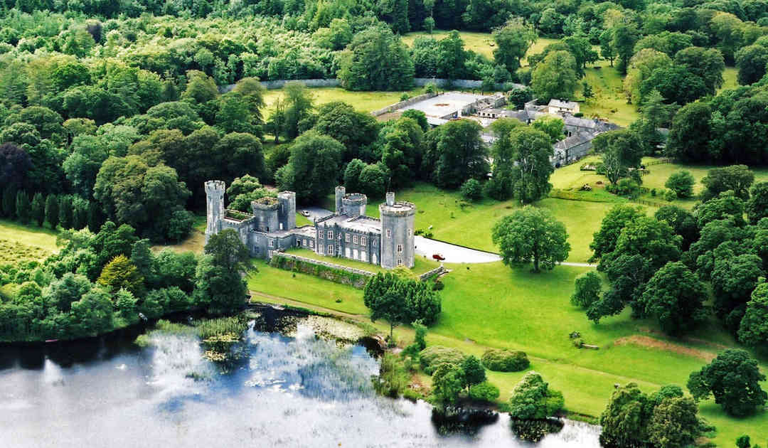 Two Sisters Castles (in ruins)Castle, tower house · 1370 yd
 KilnKiln, lime · 1.1 mi
 Gurlaun IslandIslet · 1.5 mi
 Brigit's GardenHeritage attraction · 2.1 mi
 Oghery Castle in ruinsCastle, unclassified · 2.1 mi
 Willyrogue IslandIslet · 2.3 mi
 Annagh WoodWood · 2.6 mi
 Connemara MarbleHeritage attraction · 2.9 mi
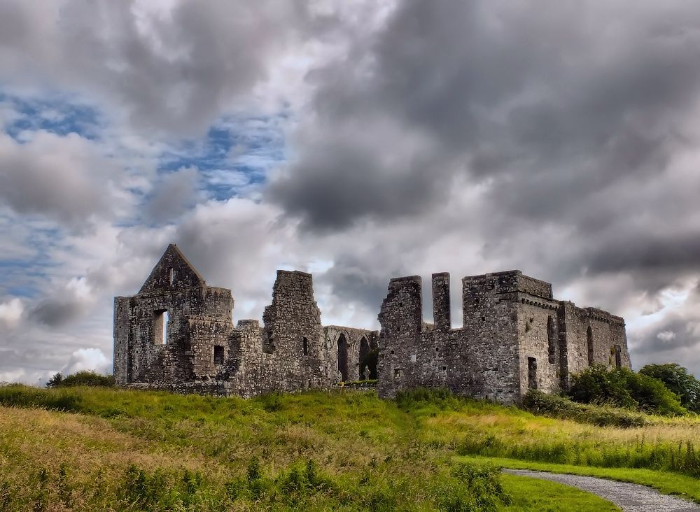 Cnoc an Bhaile NuaMountain / peak · 3.4 mi