What is recorded here
On the crest of a small hill in rolling, mainly reclaimed, grassland. Very good views in all directions. The church (KK015-019001-) is centrally placed within a rectangular graveyard. Though the graveyard is annotated on the 1st ed. OS map, it’s extent is not indicated. The surrounding wall was erected by the County Council, probably in the latter half of the 19th century. There are relatively few memorials in the graveyard, apart from several large early 19th-century chest tombs. The earliest memorial noted by Carrigan (1905, vol. 3, 273) dates from 1732.
Compiled by: Jean Farrelly
Date of upload: 29 February 2016
The monument record does not grant public access. Check the route and ask the landowner before entering private land.
- What survives
- Recorded monument
Places near here
 Rathcoole Church (in ruins)Church · 5 yd
 Enclosure in Carrigeen (gowran By.)Enclosure · 308 yd
 Site of Kilkieran ChurchChurch · 907 yd
 IndicatedBawn · 1154 yd
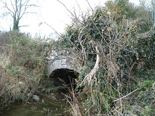 Kilkieran Bridgebridge · 1427 yd
 Gleann Dick ForestForest · 1.2 mi
 The CummerForest · 1.6 mi
 St. Mogarra’s WellSpring · 2.1 mi
 Clara CastleCastle, tower house · 2.1 mi
 KilkennyVisitor information · 3.5 mi
 Kilkenny County Council Car ParkVisitor information · 3.6 mi
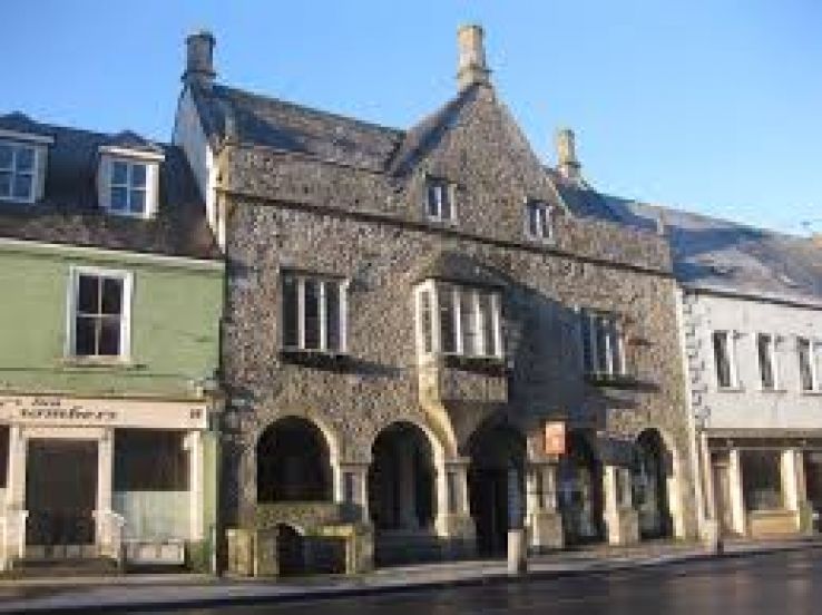 Rothe familyMemorial · 3.8 mi