What is recorded here
Situated on a rise in a gently undulating landscape. The early monastery of St. Caomhán Breac, which became the parish church of Diamor (ME015-056001-) is within a rectangular graveyard (dims c. 45-55m E-W; c. 43-46m N-S) that was defined by earthen banks with trees. The perimeter at E forms the townland boundary with Clonabreany, but archaeological testing (90E0045) demonstrated that it was of relatively recent construction (excavations.ie 1990:091) (Meenan 1991). The graveyard is now surrounded by a masonry wall and contains a cup-marked stone, six cross-slabs and a medieval chest tomb. All the inscriptions have been recorded (Moore and Kenny 1976).
Compiled by: Michael Moore
Date of upload: 17 June, 2014
Christian cemetery associated with a medieval monastery; dates primarily to the medieval period. Its significance lies in its connection to St. Caomhán Breac and the development of the parish church of Diamor.
The monument record does not grant public access. Check the route and ask the landowner before entering private land.
- What survives
- Recorded monument
Places near here
 Church in BobsvilleChurch · 8 yd
 IndicatedHoly well · 45 yd
 Moat of DiamorCastle, motte and bailey · 826 yd
 Largan WoodWood · 984 yd
 MoatFairy fort / earthen ringfort · 1488 yd
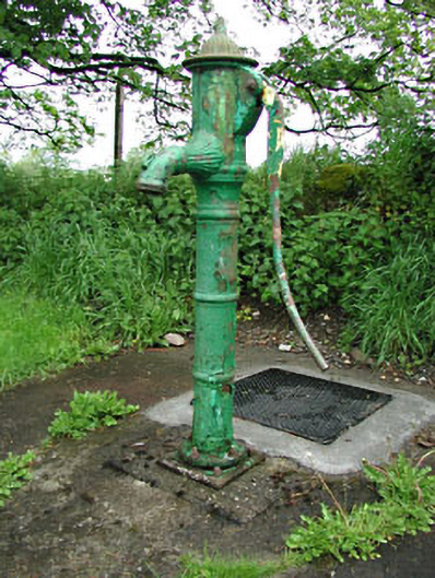 water pumpwater pump · 1.2 mi
 Earthen TumulusCastle, motte · 2.0 mi
 The Keeper's FieldForest · 2.0 mi
 Oliver Plunkett memorialMemorial · 2.5 mi
 Slieve GullionMountain / peak · 2.6 mi
 Slieve Na CalliaghMountain / peak · 2.6 mi
 Loughcrew Megalithic TombsHeritage attraction · 2.7 mi