What is recorded here
RATH in Gransha, County Down, is an abandoned circular fort, its earthen ridge still visible despite centuries of neglect. The name itself admits the shape: a Rath is a ring, a boundary, a place where someone drew a line around what they wanted to keep safe. That much survives. The rest has become guesswork, which is fair, because abandonment is not the same as forgetting.
The official Northern Ireland record identifies this as RATH. Recorded period: E.CHRIST.. The official map point was placed at the centre of the recorded archaeological site from the source map reference.
The monument record does not grant public access. Check the route and ask the landowner before entering private land.
- What survives
- Recorded monument
Places near here
 AP Cropmark- Possible rath or enclosure in BallyallolyAP Cropmark- Possible rath or enclosure · 874 yd
 Granshaw Presbyterian ChurchChurch · 964 yd
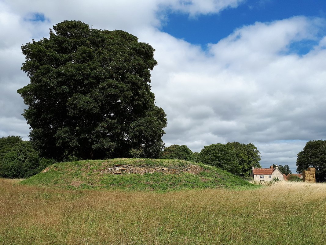 A.P. SITEA.P. SITE, ENCLOSURE · 1517 yd
_-_geograph.org.uk_-_1770599.jpg?width=1280) Andrews Memorial HallSchool · 2.0 mi
Andrews Memorial HallSchool · 2.0 mi FORTIFICATION (site of): MOUNT ALEXANDER CASTLE in Mount AlexanderFORTIFICATION (site of): MOUNT ALEXANDER CASTLE · 2.1 mi
 Comber GreenwayWalking route · 2.2 mi
 Braniel HillMountain / peak · 2.4 mi
 Conn O'Neill's Castle SiteFort · 3.1 mi
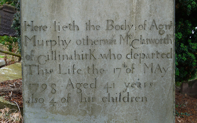 CHURCH RUINS & GRAVEYARD: KNOCK/DUNDELA in KnockCHURCH RUINS & GRAVEYARD: KNOCK/DUNDELA · 3.4 mi
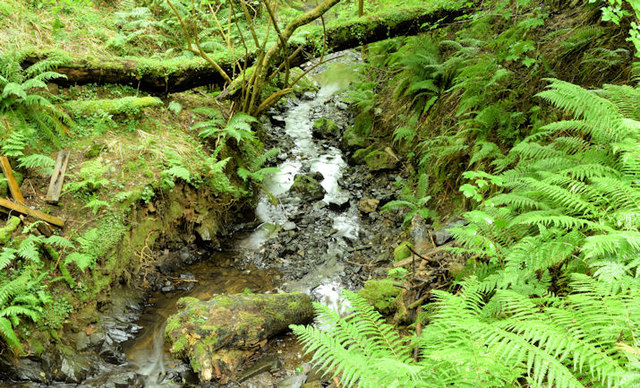 Cregagh GlenWood · 3.6 mi
 Lisnabreeney WaterfallWaterfall · 3.6 mi
 The Somme MemorialMemorial · 3.8 mi