What is recorded here
In rough upland pasture. A roughly circular enclosure (diam. c. 28m N-S; c. 29m E-W) visible on Google Earth (imagery date: 1 November 2018) (https://earth.google.com/web/@52.67657289,-8.06883083,246.33640145a,538.97741178d,35y,0h,0t,0r/data=ChYaFAoML2cvMTE5dzV3XzZkGAEgASgC), identified and reported by Jean-Charles Caillère. It appears to be defined by scarp, fosse and outer bank.
Compiled by: Jean Farrelly
Date of upload: 2 April 2019
The monument record does not grant public access. Check the route and ask the landowner before entering private land.
- What survives
- Recorded monument
Places near here
 Hut site in AughvallydeagHut site · 1020 yd
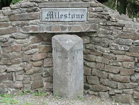 milestone/milepostmilestone/milepost · 1081 yd
 Fulacht fia in AughvallydeagFulacht fia · 1431 yd
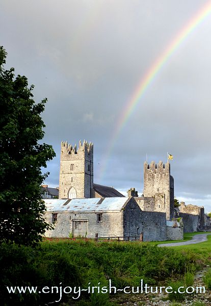 FalleennafinogaMountain / peak · 1.5 mi
 Site of Cashlauncreen CastleCastle, tower house · 1.7 mi
 KnockmaroeMountain / peak · 2.0 mi
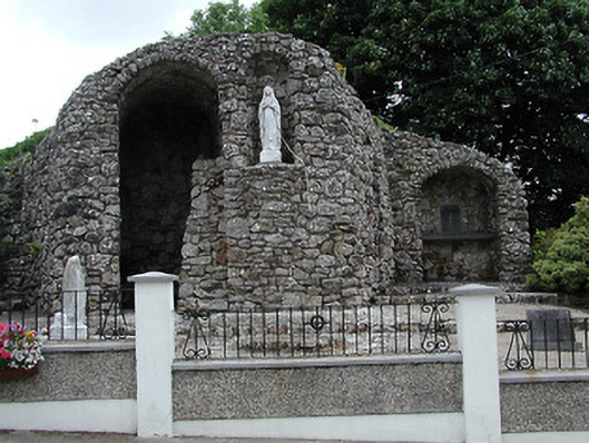 shrine/oratory/grottoshrine/oratory/grotto · 2.8 mi
 Drumbane CastleCastle · 4.4 mi
 Drum WoodWood · 4.8 mi
 Gortard WoodForest · 6.8 mi
 Silvermines ViewpointViewpoint · 9.9 mi
 Our Lady Assumed into HeavenMemorial · 11 mi