What is recorded here
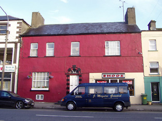
Terraced three/four-bay two-storey over partially raised basement house, built c. 1760, having modern shopfront to east side of the main elevation (south). Also in use as a shop. Hipped natural slate roof with projecting eaves course and large rendered chimneystacks to either gable end (east and west). Painted lined-and-ruled rendered walls. Square-headed window openings having replacement windows and painted limestone sills. Central round-headed door opening with rusticated limestone block doorcase, timber panelled door, moulded cut stone lintel and with a spoked fanlight over. Flight of painted limestone steps to entrance. Recent glazed shopfront to east end-bay with square-headed openings. Road-fronted to the north side of Main Street, Granard.
This substantial and imposing structure is probably the oldest building still extant in the centre of Granard. The scale, proportions and the large end chimneystacks suggest that it is mid-eighteenth century (or earlier) in date. The fine blocked cut stone doorcase provides a central focus to the building and is of artistic merit. The unusual appearance of this house is the result of much intervention over the years, which has distorted the rhythm of the fenestration. Despite this, the building retains much of its original form and structure, and notable features include the large gable chimneystacks, small basement window and the upper floor window grouping (excluding the enlarged opening). This building is an important element of the built heritage of Granard and of the architectural heritage of County Longford.
This does not grant access. Most recorded buildings are privately owned; view them only from public ground unless the owner allows entry.
Places near here
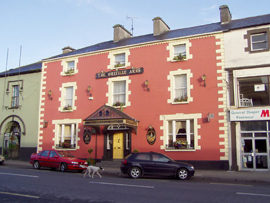 The Greville Armshouse · 26 yd
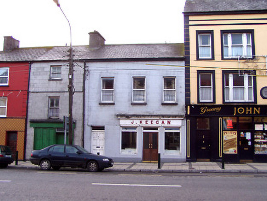 J. Keeganhouse · 32 yd
 Bakers FortCastle, ringwork · 215 yd
 1798 Monumentmonument · 257 yd
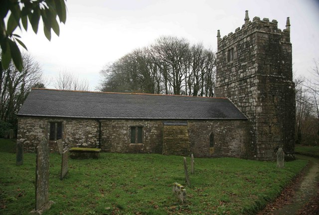 Grave YardGraveyard · 378 yd
 Granard MotteMotte-and-bailey castle remains · 406 yd
 CastleCastle, unclassified · 425 yd
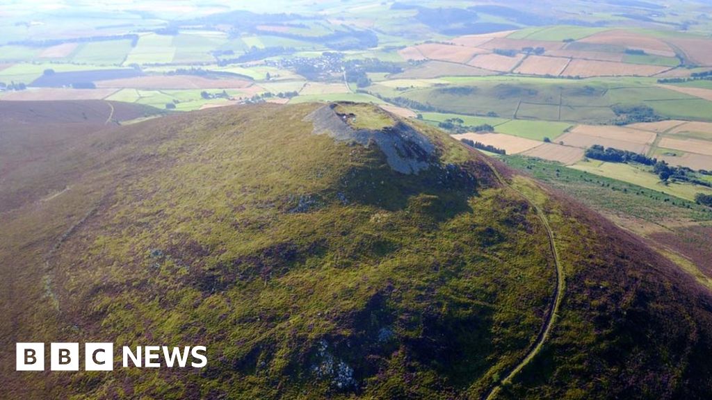 Hillfort in Granard,moatfield,teemoreHillfort · 437 yd
 CartronfreeMountain / peak · 2.9 mi
 Clonfin Ambush MemorialMemorial · 3.8 mi
 Derrycassan WoodsWood · 3.9 mi
 Cloonfin WoodForest · 4.1 mi
Other information
Photo: National Inventory of Architectural Heritage · Website use allowed for educational or private purposes with source credit