What is recorded here
A D-shaped enclosure (dims. c. 50m N-S; c. 35m E-W) is visible as differential vegetation growth on a vertical aerial photographs (ACAP, V165/20-21). Situated on a low-lying level andscape, it may be the remnants of a field system, but nothing is visible at ground level in reclaimed pasture.
The above description is derived from the published 'Archaeological Inventory of County Waterford' (Dublin: Stationery Office, 1999). In certain instances the entries have been revised and updated in the light of recent research.
Compiled by: Michael Moore
Date of upload/revision: 10 June 2011
The monument record does not grant public access. Check the route and ask the landowner before entering private land.
- What survives
- Recorded monument
Places near here
 Man-made underground passage in KilmaquagueMan-made underground passage · 564 yd
 Coast Walk, and road returnWalking route · 1117 yd
 IndicatedFairy fort / earthen ringfort · 1182 yd
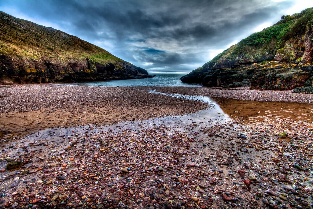 Portally CoveBeach / strand · 1255 yd
 The Coastal WalkWalking route · 1314 yd
 Church in ruinsChurch · 1382 yd
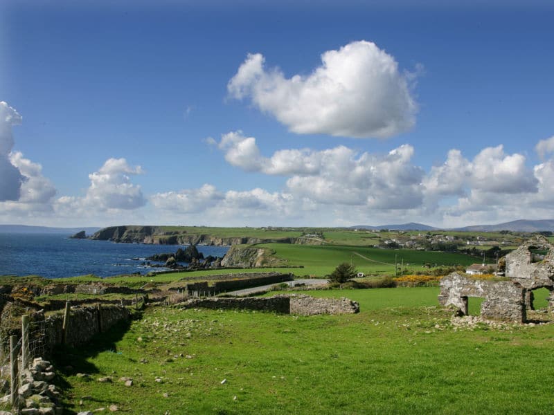 South East Coastal DriveVisitor information · 1645 yd
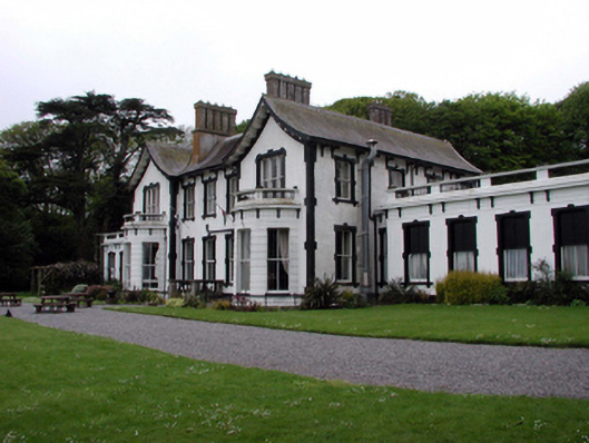 Villa Marinahouse · 1.1 mi
 Castle in ruinsCastle, Anglo-Norman masonry castle · 1.2 mi
 Ladies CoveBeach / strand · 1.2 mi
 Lost at Sea Memorial WallMemorial · 1.3 mi
 Main ForestWood · 2.4 mi