What is recorded here
Visible as a small cropmark feature (diam. c. 10m) on vertical aerial photograph (ACAP V265/20-1). Situated on a level landscape, nothing is visible at ground level.
Date of upload: 30 July 2010
Compiled by: Michael Moore
The monument record does not grant public access. Check the route and ask the landowner before entering private land.
- What survives
- Recorded monument
Places near here
 Man-made underground passage in KilmaquagueMan-made underground passage · 738 yd
 Coast Walk, and road returnWalking route · 1368 yd
 IndicatedFairy fort / earthen ringfort · 1443 yd
 The Coastal WalkWalking route · 1482 yd
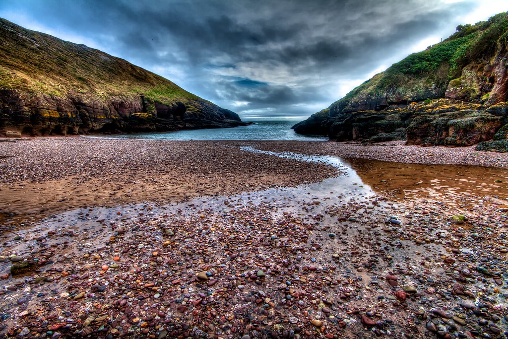 Portally CoveBeach / strand · 1602 yd
 Church in ruinsChurch · 1629 yd
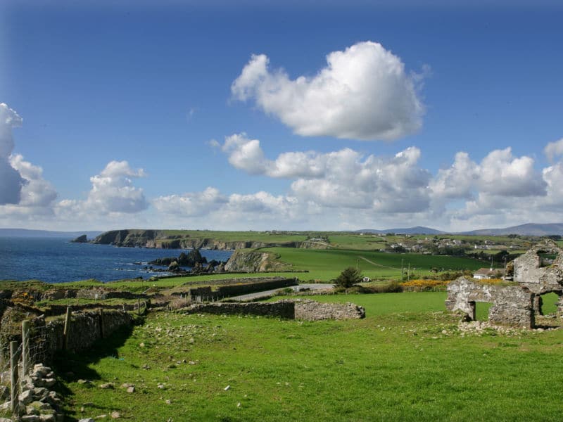 South East Coastal DriveVisitor information · 1.1 mi
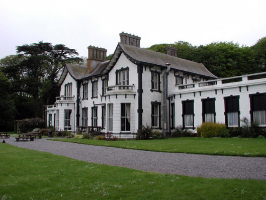 Villa Marinahouse · 1.1 mi
 Castle in ruinsCastle, Anglo-Norman masonry castle · 1.1 mi
 Ladies CoveBeach / strand · 1.1 mi
 Lost at Sea Memorial WallMemorial · 1.3 mi
 Main ForestWood · 2.4 mi