What is recorded here
In flat poorly drained grassland in upland region with good views in all directions. No surface remains visible of any enclosure in area marked on six inch OS 6-inch map. According to local information this was the location of a possible levelled ringfort (SMR correspondence, 1991).
Compiled by: Jean Farrelly
Date of upload: 26 August 2011
The monument record does not grant public access. Check the route and ask the landowner before entering private land.
- What survives
- Recorded monument
Places near here
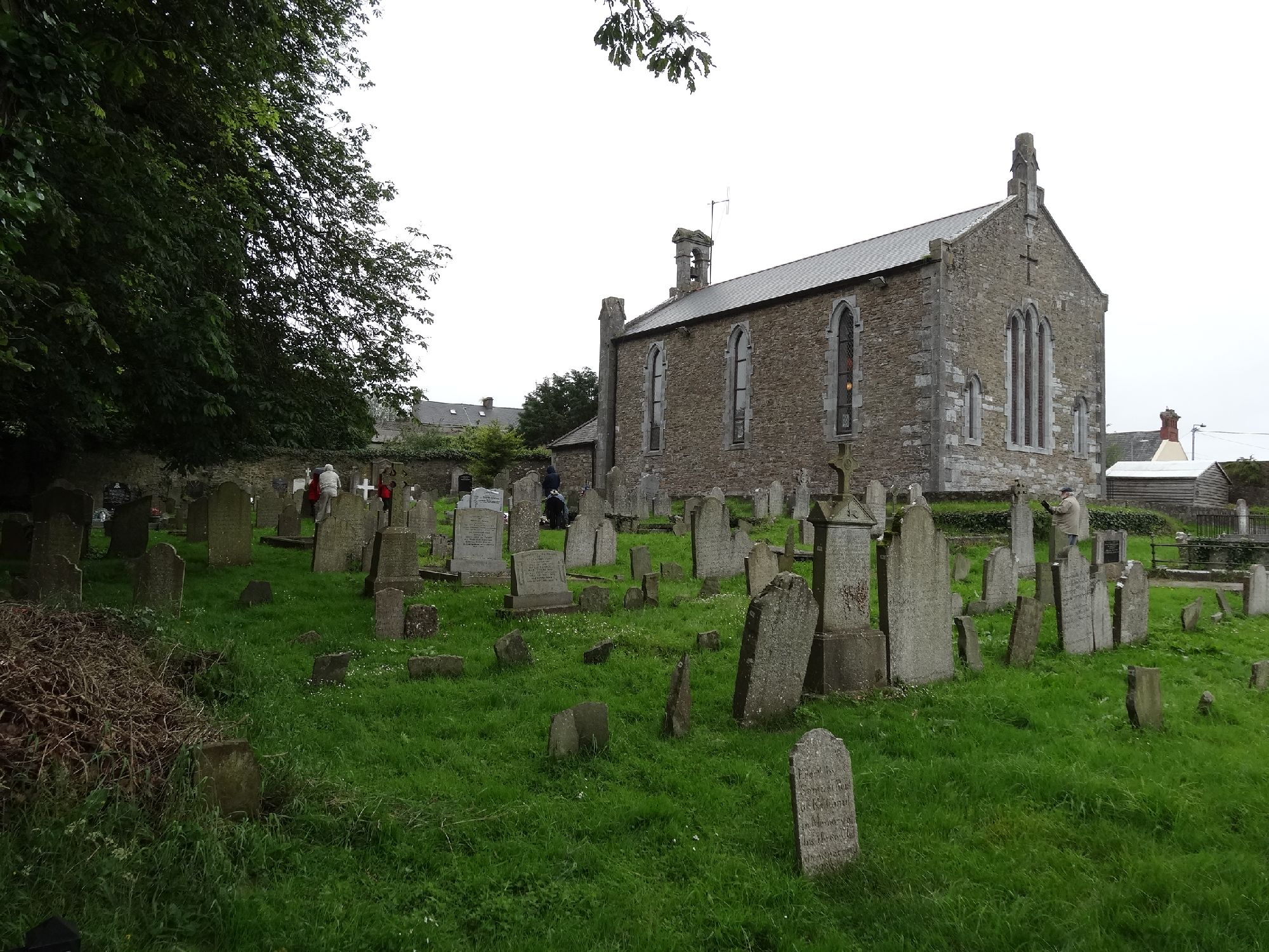 Church in GragaughChurch · 11 yd
 RoadRoad, road/trackway · 59 yd
 Bawn in LismalinBawn · 1.0 mi
 Enclosure in MohoberEnclosure · 1.2 mi
 IndicatedEnclosure · 1.5 mi
 Modeshil Castle (in ruins)Castle · 2.2 mi
 Pedunculate OakPedunculate Oak · 2.3 mi
 Black LocustBlack Locust · 2.5 mi
 Knockuragh HillMountain / peak · 3.2 mi
 Warhouse HillMountain / peak · 4.1 mi
 Derrynaflan TrailHeritage attraction · 8.3 mi
 Gobban Saer's GraveArchaeological place · 9.2 mi