What is recorded here
Shown as an oval enclosure (est. ext. diams. c. 60m N-S; c. 40m E-W) on the 1st ed. (1839) of the OS 6-inch map and as a raised oval area on the latest ed. (1909) of the map. In 1972 no visible surface traces survived, apart from a slight rise in the field (SMR file). Visible as a cropmark on Dr. Gillian Barrett's aerial photographs (GB90.BU.03 (1990) and GB91.DW.26 (1991)) which show the monument located in the SE quadrant of a second, much larger enclosure (KD039-013001-). (Barrett 2000, 87-106, Fig.12.; ibid 2002, 1-30, Plate 11; ibid 2006, 69-95, Fig.3.3.)
Compiled by: Gearóid Conroy
Date of upload: 12 December 2011
The monument record does not grant public access. Check the route and ask the landowner before entering private land.
- What survives
- Recorded monument
Places near here
 Enclosure in GothamEnclosure · 49 yd
 Enclosure in MonaclaudyEnclosure · 622 yd
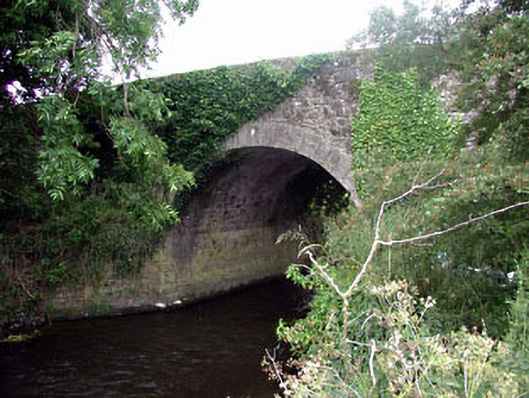 Ballaghmoon Bridgebridge · 1077 yd
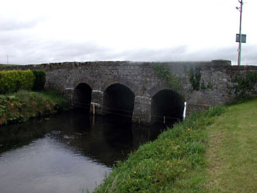 Gotham Bridgebridge · 1098 yd
 Oak Park Forest ParkWood · 1.0 mi
 Castle (in ruins)Castle, tower house · 1.2 mi
 Church (in ruins), GraveyardChurch · 1.4 mi
 CastleCastle, unclassified · 1.5 mi
 White willowWhite willow · 2.2 mi
 VISUAL Centre for Contemporary ArtGallery · 2.9 mi
 Carlow County MuseumMuseum · 3.0 mi
 ProclamationMemorial · 3.6 mi