What is recorded here
One platform rath still stands in Gortnacarrow, County Fermanagh, preserved in the official record as a marked archaeological site rather than a forgotten rumour. It belongs to the broad era labelled E.CHRIST., wide enough to hold several generations of building, defending and abandoning. The platform shape suggests people raised a home or stronghold above ordinary ground, giving width for activity and height for watchfulness. That much is clear; the rest is imagination, but a reasonable one.
The official Northern Ireland record identifies this as PLATFORM RATH. Recorded period: E.CHRIST.. The official map point was placed at the centre of the recorded archaeological site from the source map reference.
The monument record does not grant public access. Check the route and ask the landowner before entering private land.
- What survives
- Recorded monument
Places near here
 HOLY WELL in DrummullyHOLY WELL · 682 yd
 ClonandraMountain / peak · 1189 yd
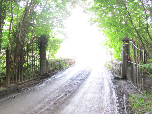 Castle Saundersonbridge · 1637 yd
 IndicatedCrannog · 1670 yd
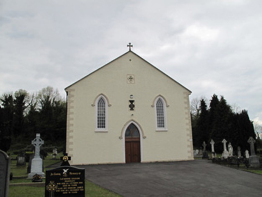 Saint Alphonsus's Catholic Churchchurch/chapel · 1716 yd
 Castle Saunderson DemesneForest · 1.3 mi
 Clonandra Ramulligan Bog WoodWood · 1.5 mi
 Bawn in KillyfanaBawn · 2.0 mi
 RuinsHouse, fortified house · 2.0 mi
 SandhillsMountain / peak · 2.0 mi
 Belturbet Heritage Railway Station MuseumMuseum · 5.0 mi
 Welcome to Belturbet StationVisitor information · 5.0 mi