What is recorded here
The children's burial ground in Gortfree is in County Tipperary, Ireland. The low irregular platform measures 65 metres north-south and 28 metres east-west, rising 0.15 metres above the ground. A local farmer believes the area was used for burying children, though no grave markers remain visible. Two piles of loose stone along the north and northeast edge may be remains of markers moved onto the ridge.
On the N edge of a low NW-SE ridge in flat grassland, in upland area with good views in all directions. Overlooks nearby Munster river to the N and NE of the burial ground. Marked as a sub-rectangular area and depicted as a 'Grave Yard' on the 1st (1840) ed. OS 6-inch map, by the 1903 ed. the graveyard had become redundant. Monument consists of a low irregular-shaped platform (dims 65m N-S; 28m E-W; H 0.15m) defined by an earthen bank mainly reduced to a scarp and faint traces of a filled in outer fosse (Wth 1.5m) now visible as a cropmark. No grave markers visible, two piles of lose stone along N and NE quadrant of graveyard which may be remains of grave markers that have been moved and piled up into a little pile on the edge of the ridge. According to a local farmer there is a belief in the area that this was a place used for burying children.
Compiled by: Jean Farrelly
Date of revised upload: 27 May 2015
The monument record does not grant public access. Check the route and ask the landowner before entering private land.
- What survives
- Recorded monument
Places near here
 Enclosure in Killeen (crannagh By.)Enclosure · 190 yd
 bridgebridge · 379 yd
 IndicatedFairy fort / earthen ringfort · 544 yd
 Killeen Fox CovertForest · 1.2 mi
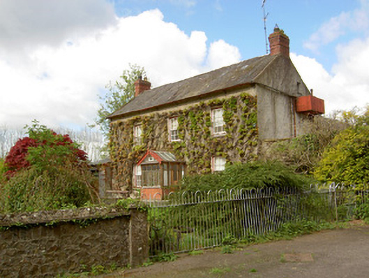 Jessfield Househouse · 1.4 mi
 Farranrory CastleCastle · 1.4 mi
 Castle (in ruins)Castle, unclassified · 1.7 mi
 Warhouse HillMountain / peak · 1.7 mi
 The Lower Field Beside the LaneForest · 1.7 mi
 Ballykeefe AmphitheatreHeritage attraction · 3.5 mi
 Ballykeefe QuarryCliff · 3.5 mi
 Ballykeeffe Mass RockNamed rock · 3.8 mi