
What is recorded here
Indicated on the 1st (1839) ed. OS 6-inch map and on the 1900 revision as a circular enclosure (diam. c. 48m) with the sinuous Munster River flowing NW-SE c. 20m to the S. The monument was inspected in November 1955 and was described as consisting of, 'a low bank of indeterminate shape close to the lane which runs along the E bank of the Munster River' (OPW correspondence files, November 1955). It was subsequently levelled as part of Land Project works (ibid.). An outer fosse is visible as a cropmark on satellite imagery (Digitalglobe, viewed 7 July 2020).
See attached satellite image (Digitalglobe, viewed 7 July 2020)
Compiled by: Jean Farrelly
Date of upload: 7 July 2020
The monument record does not grant public access. Check the route and ask the landowner before entering private land.
- What survives
- Recorded monument
Places near here
 bridgebridge · 233 yd
 IndicatedFairy fort / earthen ringfort · 641 yd
 Killeen Fox CovertForest · 1.1 mi
 Farranrory CastleCastle · 1.5 mi
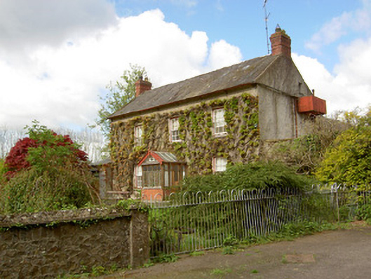 Jessfield Househouse · 1.5 mi
 Pottlerath RathArchaeological place · 1.6 mi
 Castle (in ruins)Castle, unclassified · 1.7 mi
 Warhouse HillMountain / peak · 1.7 mi
 The Lower Field Beside the LaneForest · 1.8 mi
 Ballykeefe AmphitheatreHeritage attraction · 3.5 mi
 Ballykeefe QuarryCliff · 3.5 mi
 Ballykeeffe Mass RockNamed rock · 3.8 mi
Other information
Photo: Credit not shown in the picture search · Rights wording not checked; contact us if this picture should be removed