What is recorded here
In rough hill pasture, on a NE-facing slope, overlooking the valley of the Slaheny River. The remains of a circular hut site (4.4m E-W; 4.2m N-S) defined by a partially grass-covered drystone wall (T 0.5m; H 0.4m). The NE portion of the interior is raised slightly and the SW portion is cut slightly into the upslope to compensate for the hillslope. The interior is level. There is an entrance (Wth 0.5m) at E. There is another hut site (KE103-032003-) c. 6m to the NW and two others (KE103-032001-, KE103-032002-) are c. 65m to the NE.
The above description is derived from the published 'Archaeological Inventory of County Kerry. Volume I: South-West Kerry' (Dublin: Stationery Office, 2009). In certain instances the entries have been revised and updated in the light of recent research.
Date of upload: 30 May 2011
The monument record does not grant public access. Check the route and ask the landowner before entering private land.
- What survives
- Recorded monument
Places near here
 Hut site in GortacreenteenHut site · 132 yd
 SheepfoldHut site · 763 yd
 Bridge in Inchimore (glanarought By., Kenmare Ed)Bridge · 1000 yd
 KnocknamanaghMountain / peak · 1327 yd
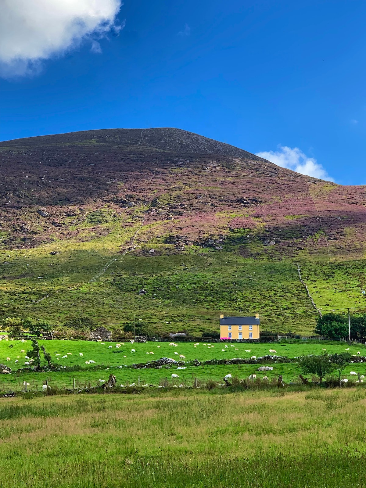 Gullaba HillMountain / peak · 1456 yd
 CaoinkeenCliff · 1.5 mi
 Kilgarvan Motor MuseumMuseum · 2.7 mi
 Battle of Callannbattle · 2.8 mi
 Bullaun StoneHeritage attraction · 3.6 mi
 Great Southern & Western RailwayMemorial · 3.8 mi
 Castle (Site of)Castle, unclassified · 3.9 mi