What is recorded here
In improved pasture, on top of a hill with panoramic views in all directions. It is not visible at ground level. There is a slight break of slope SSE-W-N which may indicate traces of the levelled monument. A field boundary, running c. NE-SW, to the NW has been removed at its western end and a small area of hill has been quarried out in the past. It is depicted on the 1904 edition OS 6-inch map as an oval area (c. 40m N-S; c. 30m E-W) with an outer enclosing element S-NNE. A spot height (381ft) is depicted within the centre indicating that it was located at the highest point of the hill.
Compiled by: Jean Farrelly
Date of upload: 26 August 2011
This remains an important historical record, but the official description says the monument is no longer visible or has been destroyed. The monument record does not grant public access. Check the route and ask the landowner before entering private land.
- What survives
- No visible remains or recorded as destroyed
Places near here
 Enclosure in AttybrickEnclosure · 774 yd
 TemplemacduaghChurch · 962 yd
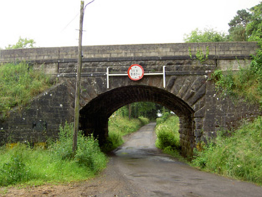 Ballyrobin Bridgebridge · 1172 yd
 Enclosure in Pallas (donohill Par.)Enclosure · 1474 yd
 Maudemount BogWood · 1.3 mi
 Site of CastleCastle, unclassified · 1.4 mi
 Dundrum Woods (Marl Bog)Forest · 1.8 mi
 Donohill MoatCastle, motte and bailey · 1.8 mi
 Soloheadbeg Ambushambush · 3.0 mi
 Soloheadbeg Ambush SiteMemorial · 3.4 mi
 I.R.A. 3rd. Tipperary Brigade MemorialMemorial · 4.7 mi
 It's a long way to TippereryHeritage attraction · 5.2 mi