What is recorded here
Fairy fort / ringfort in Gneevebeg is a fairy fort or ringfort in Gneevebeg, County Westmeath, Ireland. The monument was levelled during land project works carried out in the 1970s. A 1977 inspection noted that a low scarp with a line of nettles at its foot was visible from west-northwest to northwest. Beyond this, a narrow and broken band of nettles in a slight depression stretched in an arc from west-southwest through west to north, which may represent the line of the fosse.
Monument was levelled during land project works carried out in the 1970s. The site of the possible levelled ringfort (diam. c. 42m NNW-SSE) was inspected in 1977 and described as follows: 'On the NE end of a NE-SW ridge in good pasture land. All that now remains is a low scarp with a line of nettles at its foot visible from WNW-NW. Beyond this is a narrow and broken band of nettles in a slight depression stretching in an arc from WSW-W-N which may represent the line of the fosse. On the E side there is an irregular band of stony soil visible about halfway down the slope of the ridge which may represent the site of a bank. A modern field fence runs NW-SE past the site on the E and curves out around the foot of the ridge on the NE. The interior slopes irregularly from NW to SE' (SMR file). Ringfort (WM032-068----) located 100m to the SSE.
Compiled by: Caimin O'Brien
Date of upload: 06 March 2013
The monument record does not grant public access. Check the route and ask the landowner before entering private land.
- What survives
- Recorded monument
Places near here
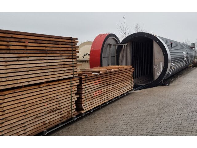 KilnKiln, corn-drying · 312 yd
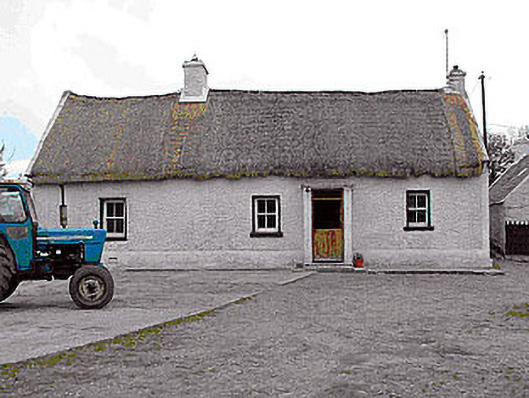 farm housefarm house · 522 yd
 CastleCastle, motte · 1162 yd
 Killalea FortCastle, motte · 1428 yd
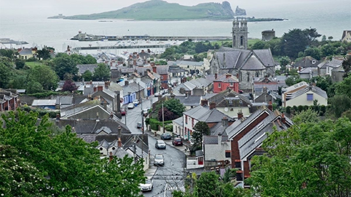 Partially hachuredFairy fort / earthen ringfort · 1619 yd
 Rathnagalliagh FortFairy fort / earthen ringfort · 1631 yd
 Sam's ParkForest · 4.4 mi
 Kilmalady HillMountain / peak · 4.6 mi
 KnockastiaMountain / peak · 5.1 mi
 Ardan WoodWood · 5.3 mi
 Clara Bog BoardwalkHeritage attraction · 8.3 mi
 Charles BianconiMemorial · 8.8 mi