What is recorded here
Thirty-eight metres across on boggy ground, the fairy fort in Glouria still stands with a one-and-a-half-metre earthen bank and a shallow outside ditch. Its south-east gap is wide enough for a cart or a fleeing person, while an oblong mound inside suggests a buried house or cache. The missing ditch at the north-east edge and the small outside mound hint that the ring changed shape or purpose before people stopped remembering why.
Internal diameter 30m N-S, 38m E-W
This univallate rath is situated on slightly boggy land and lies SW of KE005-076----. The site consists of an oval area enclosed by an earthen bank and exterior fosse. The maximum height of the bank measures 1.5m externally, and 1m internally. The fosse exists for the whole site except to the N to NE where it cannot be distinguished; elsewhere it measures 1.6m wide and .5m deep. The entrance would appear to lie to the SE, where it measures 2.4m in width. In the interior in the S sector is an oblong mound, 9.7m x 3.6m externally. On the exterior side of the N sector is another small mound, 3m x 2.4m, which could be connected to the rath.
The above description is derived from C. Toal, ‘North Kerry Archaeological Survey’. Dingle. Brandon in association with FAS Training and Employment Authority (1995), no. 274. In certain instances the entries have been revised and updated in the light of recent research.
Date of upload: 2 August 2013
The monument record does not grant public access. Check the route and ask the landowner before entering private land.
- What survives
- Recorded monument
Places near here
 ToberboyHoly well · 813 yd
 Bawn in BallydonohoeBawn · 860 yd
 Bawn in GlouriaBawn · 1009 yd
 Saint Teresa's Catholic Churchchurch/chapel · 1112 yd
 LismoyleArchaeological place · 1382 yd
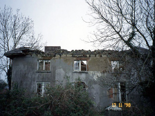 Coolardhouse · 1694 yd
 KnockanoreMountain / peak · 3.3 mi
 Lartigue MonorailMuseum · 3.9 mi
 John B. Keane GroveMemorial · 3.9 mi
 Kerry Writers' MuseumMuseum · 4.2 mi
 Bryan MacMahonMemorial · 4.2 mi
 Men's BeachBeach / strand · 5.7 mi