
What is recorded here
Glouria holds a rectangular bawn beside its ringfort, measuring twenty-seven metres across and rising forty centimetres above the ground. That much space suggests people kept animals, stored tools or gathered for seasonal work rather than merely passing through. The earth still marks the edges, preserving a forgotten rhythm of domestic life in County Kerry.
Immediately SSW of this ringfort (KE005-082----) lies a possible rectangular bawn (KE005-081002-), which is 27m x 18.6m and .4m high.
The above description is derived from C. Toal, ‘North Kerry Archaeological Survey’. Dingle. Brandon in association with FAS Training and Employment Authority (1995), no. 278. In certain instances the entries have been revised and updated in the light of recent research.
Date of upload: 02 October 2013
The monument record does not grant public access. Check the route and ask the landowner before entering private land.
- What survives
- Recorded monument
Places near here
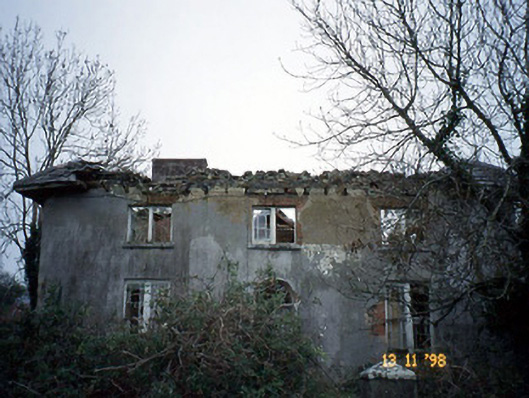 Coolardhouse · 1151 yd
 Saint Teresa's Catholic Churchchurch/chapel · 1447 yd
 St Bartholomews WellHoly well · 1452 yd
 ToberboyHoly well · 1545 yd
 Bawn in BallydonohoeBawn · 1586 yd
 Lartigue MonorailMuseum · 3.3 mi
 John B. Keane GroveMemorial · 3.4 mi
 Kerry Writers' MuseumMuseum · 3.7 mi
 Bryan MacMahonMemorial · 3.7 mi
 Listowel Castle (in ruins)Castle, tower house · 3.7 mi
 KnockanoreMountain / peak · 3.8 mi
 Men's BeachBeach / strand · 6.0 mi
Other information
Photo: Credit not shown in the picture search · Rights wording not checked; contact us if this picture should be removed