What is recorded here
In tillage. An oval enclosure (dims. c. 40m NE-SW; c. 35m NW-SE), defined by a fosse which is visible as a cropmark on satellite imagery (Apple Maps), identified and reported by Jean-Charles Caillère.
See attached imagery:
KK028-108----_01 Apple Maps satellite imagery
Compiled by: Jean Farrelly
Date of upload: 27 June 2023
The monument record does not grant public access. Check the route and ask the landowner before entering private land.
- What survives
- Recorded monument
Places near here
 Church in Oldtown (knocktopher By.)Church · 759 yd
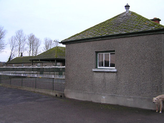 Mount Julietkennels · 932 yd
 Enclosure in DanesrathEnclosure · 1492 yd
 Turkey OakTurkey Oak · 1.0 mi
 Pedunculate OakPedunculate Oak · 1.0 mi
 Mount Juliet HouseCastle · 1.1 mi
 Enclosure in Carrigeen (knocktopher By., Knocktopher Ed)Enclosure · 1.1 mi
 Castle ColumbCastle, tower house · 1.4 mi
 Holy WellSpring · 1.5 mi
 Jerpoint AbbeyHeritage attraction · 1.7 mi
 Site of Village Well 1810-1950Memorial · 1.8 mi
 Site of Lee's ForgeMemorial · 1.8 mi