
What is recorded here
According to Carrigan (1905, vol. 4, 101), ‘The old chapel of Glenmore, built probably about 1700, stood almost in front of the Curate’s house, in the deep hollow directly under the public road. The present chapel, which succeeded it, has a slab over the entrance door, with the inscription:
Anno Domini
1813
This chapel was built by the Parishioners of Glenmore.
Rev. John Fitzpatric P.P.
Rev. William Grant, Coadr.
There is no church indicated in Glenmore townland on the 1st (1839) ed. OS 6-inch map or on the 25-inch (1899) OS map. However, on these maps and on the 1948 revision of the OS 6-inch map, in the neighbouring townland of Oldtown c. 80m SE of the NE corner Glenmore townland and c. 80m S of the public road, there is a rectangular building (dims. c. 15m NW-SE x c. 5m NE-SW) depicted in a hollow with another building, possibly the Curate’s house’, c. 17m to the NNE. The position of these two buildings, and particularly location of the southernmost building in a clearly indicated hollow, would suggest that these are the ‘chapel’ and Curate’s house. Neither of these buildings are visible at ground level (Google Earth satellite imagery, imagery date 25 April 2021).
Compiled by: Jean Farrelly
Date of upload: 18 April 2023
The monument record does not grant public access. Check the route and ask the landowner before entering private land.
- What survives
- Recorded monument
Places near here
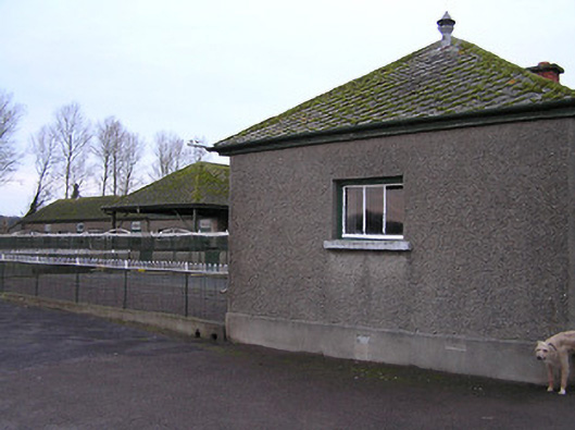 Mount Julietkennels · 387 yd
 Pedunculate OakPedunculate Oak · 1078 yd
 Mount Juliet HouseCastle · 1233 yd
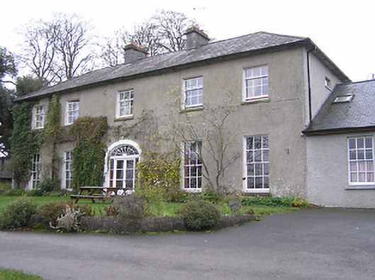 Jerpoint Househouse · 1353 yd
 Enclosure in Jerpoint WestEnclosure · 1757 yd
 CastleCastle, unclassified · 1.2 mi
 Holy WellSpring · 1.2 mi
 Enclosure in DanesrathEnclosure · 1.2 mi
 Turkey OakTurkey Oak · 1.4 mi
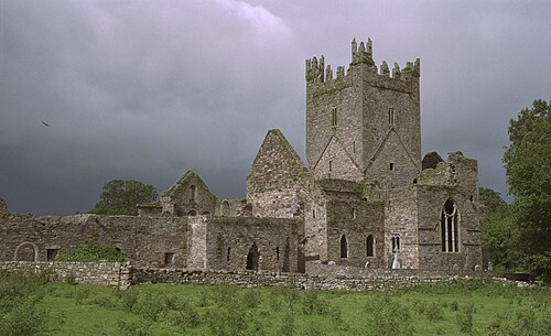 Jerpoint AbbeyHeritage attraction · 1.5 mi
 Site of Village Well 1810-1950Memorial · 1.8 mi
 Site of Lee's ForgeMemorial · 1.8 mi
Other information
Photo: Credit not shown in the picture search · Rights wording not checked; contact us if this picture should be removed