What is recorded here
In tillage. A curvilinear enclosure (diam. c. 35-40m), defined by a fosse which is visible as a cropmark on satellite imagery (Apple Maps), was identified and reported by Jean-Charles Caillère. There are a number of linear cropmarks running for c. 50m NE-SW to the NE, E and SE of the enclosure which appear to be an associated field system and another possible curvilinear enclosure conjoined to the S of the enclosure.
See attached imagery:
KK031-107----_01 Apple Maps satellite imagery
Compiled by: Jean Farrelly
Date of upload: 20 June 2023
The monument record does not grant public access. Check the route and ask the landowner before entering private land.
- What survives
- Recorded monument
Places near here
 Turkey OakTurkey Oak · 462 yd
 Chapel in CastlecolumbChapel · 634 yd
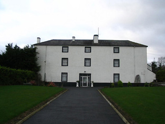 Flood Hallcountry house · 1036 yd
 Enclosure in DanesrathEnclosure · 1039 yd
 Castle ColumbCastle, tower house · 1427 yd
 IndicatedEnclosure · 1545 yd
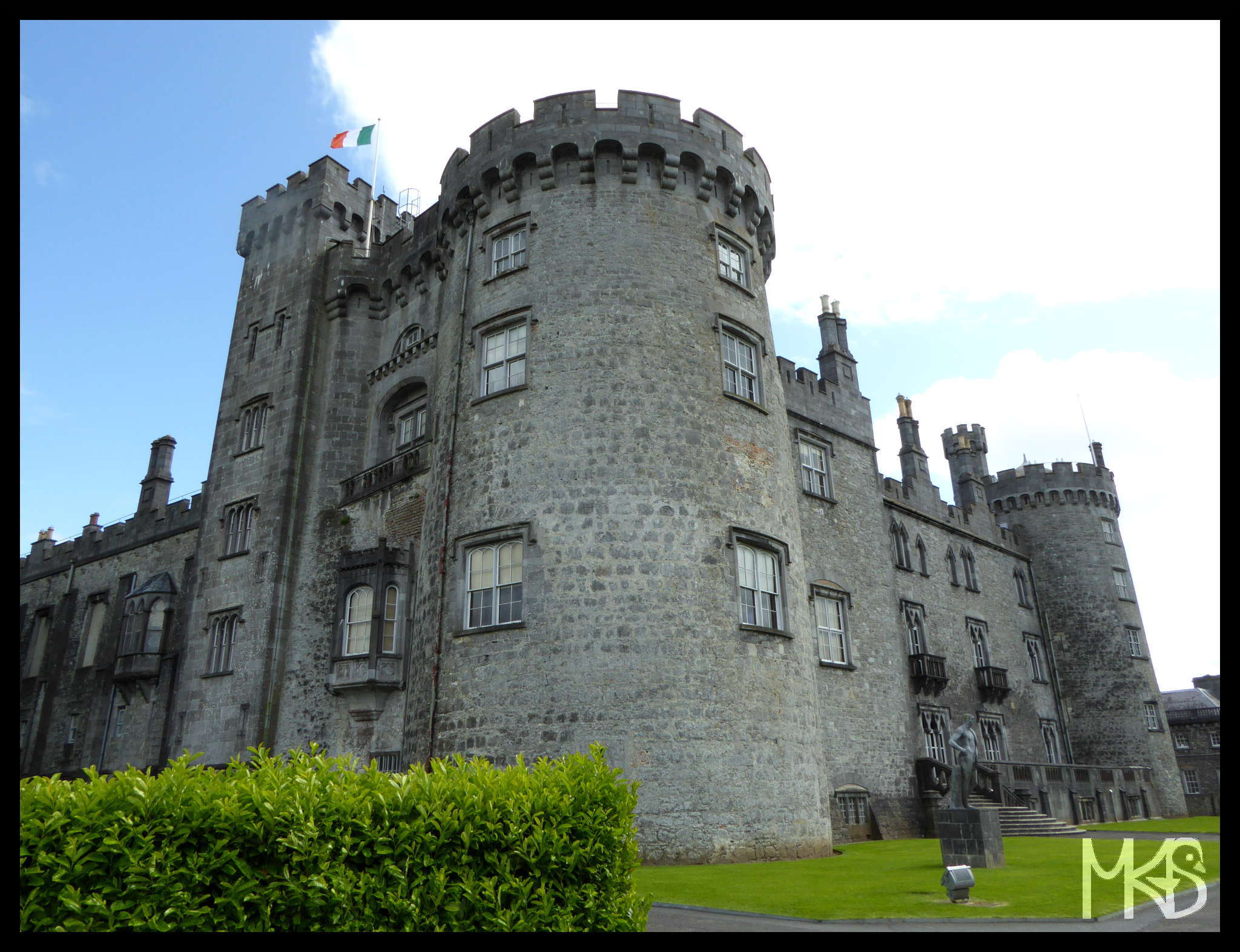 CastleCastle, unclassified · 1717 yd
 Pedunculate OakPedunculate Oak · 2.1 mi
 Site of Village Well 1810-1950Memorial · 2.2 mi
 Site of Lee's ForgeMemorial · 2.2 mi
 Kells Augustinian PrioryHeritage attraction · 3.2 mi
 Kells Loop WalkWalking route · 3.4 mi
Other information
Photo: Credit not shown in the picture search · Rights wording not checked; contact us if this picture should be removed