
What is recorded here
Indicated is a small circular enclosure in County Cork, Ireland, marked on a 1937 map and identified by a ring of mature deciduous trees. Bowman recorded a single-ramparted fort at the same site in Mr Bolster's land, but the low bank has since been levelled. The trees remain as a quiet boundary, marking a place whose earth shape has been erased but whose position is still known.
Indicated as small circular enclosure (diam. c. 12m) on 1937 OS 6-inch map. Ring of mature deciduous trees indicate site; according to local information, low bank which surrounded these trees was recently levelled. Appears to be same site as single-ramparted fort (diam. c. 15yds; bank H c. 2ft) recorded by Bowman (1934, 49) in Mr Bolster's land.
The above description is derived from the published 'Archaeological Inventory of County Cork. Volume 4: North Cork' (Dublin: Stationery Office, 2000). In certain instances the entries have been revised and updated in the light of recent research.
Date of upload/revision: 14 January 2009
The monument record does not grant public access. Check the route and ask the landowner before entering private land.
- What survives
- Recorded monument
Places near here
 Enclosure in GlenlohaneEnclosure · 70 yd
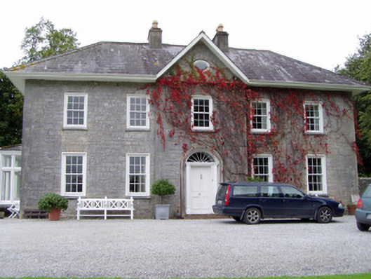 Glenlohane Househouse · 300 yd
 ListeigeFairy fort / earthen ringfort · 466 yd
 Burial ground in AssolasBurial ground · 731 yd
 KilnKiln, unclassified · 927 yd
 European YewEuropean Yew · 1134 yd
 Ballyheen Castle (Site of)Castle, unclassified · 1194 yd
 CastleCastle, unclassified · 1.6 mi
 Kanturk CastleHeritage attraction · 2.2 mi
 Hanna SheehyMemorial · 2.4 mi
 Graveyard in Ballygiblin (duhallow By.)Graveyard · 2.4 mi
 St Fursey's WellSpring · 2.6 mi
Other information
Photo: Credit not shown in the picture search · Rights wording not checked; contact us if this picture should be removed