What is recorded here
The fairy fort or earthen ringfort in Glengoole South is in County Tipperary, Ireland. It sits on a northwest-facing slope of the Slieveardagh Hills in partially reclaimed wet marshy grassland. A wide flat-topped earth and stone bank encloses a circular area about thirty metres across, while a broad flat-bottomed ditch runs outside the bank. Dense trees and bushes cover much of the site, limiting clear view of its full structure.
On a NW-facing slope of the Slieveardagh Hills with higher ground to E and lower ground to W and N, in wet marshy grassland which has been partially reclaimed. A ringfort (TS048-040----) lies 300m to the SW. An old stream running downslope intersects with the outer fosse at the SE and runs downhill where it exits the fosse at the W. The ringfort is very overgrown and covered in trees and bushes making detailed examination impossible, only the S half of monument was accessible. Monument consists of a raised circular area (diam approx. 30m N-S) enclosed by a well-preserved, wide, flat-topped earth and stone bank (top Wth 2m; base Wth 4.5m ; int. H 0.8-1.2m; ext. H 2.5m ) and a wide flat-bottomed fosse (base Wth 2m; top Wth 8m; ext. H 0.5m), with gaps in the bank at the SSW (Wth 1.7m) and E (Wth 1.9m). The interior slopes with the natural slope of the land on which the monument is situated.
Compiled by: Jean Farrelly
Date of upload: 26 August 2011
The monument record does not grant public access. Check the route and ask the landowner before entering private land.
- What survives
- Recorded monument
Places near here
 Druids AltarMegalithic structure · 588 yd
 Ballinalacken Church (in ruins)Church · 751 yd
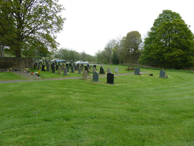 Grave YardHoly well · 788 yd
 RoadRoad, road/trackway · 945 yd
 Waterloo HillMountain / peak · 1.0 mi
 Mellisson CastleCastle, tower house · 1.6 mi
 Derrynaflan TrailHeritage attraction · 2.6 mi
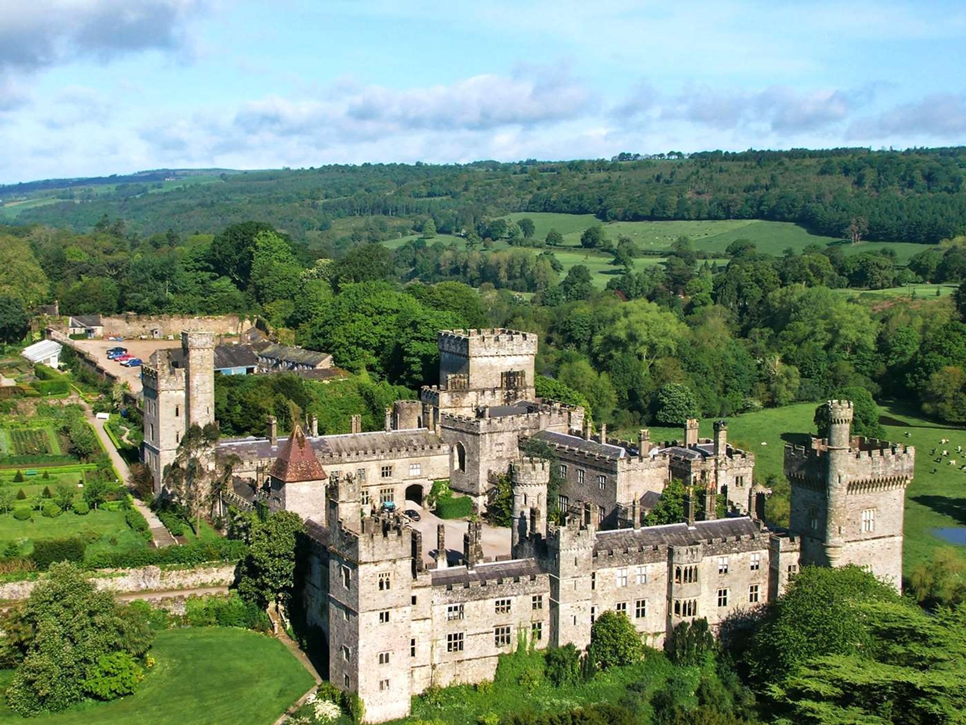 Site of Lisnamrock CastleCastle, unclassified · 2.6 mi
 Bregaun HillMountain / peak · 3.3 mi
 Slieveardagh Heritage CentreVisitor information · 3.5 mi
 Gobban Saer's GraveArchaeological place · 4.1 mi
 Sweet ChestnutSweet Chestnut · 4.4 mi