What is recorded here
Enclosure in Glengoole South is an enclosure in Glengoole South, County Tipperary, Ireland. It sits in grassland at the west end of an east-west ridge in an upland area with good views in all directions. A levelled stone circle lies 45 metres to the west. A smaller enclosure, about 37 metres north-south and 31 metres east-west, appears on a 1974 aerial photograph within the southeast quadrant of the ringfort but is not visible at ground level.
In grassland at the W end of an E-W ridge in upland area with good views in all directions, levelled stone circle (TS054-011001-) 45m to the W. There is a smaller enclosure (dims. c. 37m N-S; c. 31m E-W) visible on an aerial photograph (GSI 1974, S. 578/7) within the SE quadrant of ringfort (TS054-012001-). It is not visible at ground level.
Compiled by: Jean Farrelly
Date of upload: 26 August 2011
The monument record does not grant public access. Check the route and ask the landowner before entering private land.
- What survives
- Recorded monument
Places near here
 Waterloo HillMountain / peak · 35 yd
 Enclosure in Glengoole SouthEnclosure · 82 yd
 RoadRoad, road/trackway · 849 yd
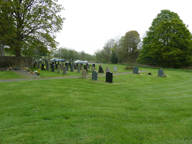 Grave YardHoly well · 1012 yd
 Ballinalacken Church (in ruins)Church · 1052 yd
 CastleCastle, ringwork · 1.6 mi
 Bog Castle (in Ruins)Castle, unclassified · 2.1 mi
 Derrynaflan TrailHeritage attraction · 2.3 mi
 Slieveardagh Heritage CentreVisitor information · 2.4 mi
 Gobban Saer's GraveArchaeological place · 3.6 mi
 Eagle HillMountain / peak · 4.0 mi
 Sweet ChestnutSweet Chestnut · 4.5 mi