What is recorded here
Enclosure in Glengoole South is an enclosure in Glengoole South, County Tipperary, Ireland. It stands in grassland on high ground with panoramic views in all directions, 45 metres west of a nearby ringfort. No stone circle or enclosure is visible at the site today, although a 1903 map marked an enclosure that may have enclosed or formed a platform for a circle of seven upright stones described in 1938.
In grassland on high ground with panoramic views in all directions, nearby ringfort TS054-012001-) 45m to the E. Monument in grassland with so evidence of stone circle (TS054-011001-) or enclosure visible. Enclosure indicated on 1903 ed. OS 6-inch map and may have enclosed or have been a platform for a stone circle, described in 1938 as consisting of seven upright stones (OPW files).
Compiled by: Jean Farrelly
Date of upload: 26 August 2011
The monument record does not grant public access. Check the route and ask the landowner before entering private land.
- What survives
- Recorded monument
Places near here
 Waterloo HillMountain / peak · 62 yd
 RoadRoad, road/trackway · 878 yd
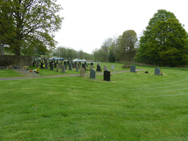 Grave YardHoly well · 1026 yd
 Ballinalacken Church (in ruins)Church · 1065 yd
 Enclosure in TullequaneEnclosure · 1299 yd
 CastleCastle, ringwork · 1.6 mi
 Bog Castle (in Ruins)Castle, unclassified · 2.0 mi
 Derrynaflan TrailHeritage attraction · 2.3 mi
 Slieveardagh Heritage CentreVisitor information · 2.4 mi
 Gobban Saer's GraveArchaeological place · 3.5 mi
 Eagle HillMountain / peak · 4.0 mi
 Sweet ChestnutSweet Chestnut · 4.5 mi
Other information
Photo: Credit not shown in the picture search · Rights wording not checked; contact us if this picture should be removed