What is recorded here
The fairy fort or earthen ringfort in Glengoole North, Glengoole South is in County Tipperary, Ireland. It stands on flat grassland at the base of the Slieveardagh hills, with open views from south through west to north. The raised circular platform measures about 27 metres north to south and 24 metres east to west. Its earth and stone bank is best preserved from south through west to northwest, reduced to a scarp at the north and destroyed by a roadway from northeast through east to south. Another ringfort lies 300 metres to the northeast.
On flat grassland at the base of the Slieveardagh hills with good views from S through W to N and higher ground to E. A ringfort (TS048-039----) lies 300m to the NE. The ringfort consists of a raised circular platform (int. diam. 21m N-S; overall diam. c. 27m N-S and 24m E-W) defined by an earth and stone bank (top Wth 1.5m; base Wth 5m; int. H 0.2m; ext. H 0.8-1.5m) reduced to a scarp at the N and destroyed by roadway from NE through E to S. The enclosing bank is best preserved from S through W to NW, elsewhere the bank is levelled.
Compiled by: Jean Farrelly
Date of upload: 26 August 2011
The monument record does not grant public access. Check the route and ask the landowner before entering private land.
- What survives
- Recorded monument
Places near here
 Ballinalacken Church (in ruins)Church · 444 yd
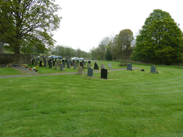 Grave YardHoly well · 483 yd
 RoadRoad, road/trackway · 683 yd
 Druids AltarMegalithic structure · 792 yd
 Waterloo HillMountain / peak · 1474 yd
 Mellisson CastleCastle, tower house · 1.7 mi
 Derrynaflan TrailHeritage attraction · 2.4 mi
 Bog Castle (in Ruins)Castle, unclassified · 2.5 mi
 Slieveardagh Heritage CentreVisitor information · 3.3 mi
 Bregaun HillMountain / peak · 3.5 mi
 Gobban Saer's GraveArchaeological place · 3.9 mi
 Sweet ChestnutSweet Chestnut · 4.3 mi