What is recorded here
Mortars and machines have chewed the land around Glendarragh until only a shallow earthen ring remains beside a loud road. The fairies likely abandoned the fort before the quarry arrived, leaving behind a circular scar rather than a home. What looks like ruin may be an empty chamber, waiting for human noise to stop and reveal what still moves inside the soil.
On SE-facing hillside; site now isolated in waste ground between large quarry to E, building site to W and public road to S. Circular area (18m N-S; 18m E-W) enclosed SW->NE by earthen bank (int. H 0.3m; ext. H 0.5m) and defined NE->SW by scarped edge (H c. 2.5m). Quantities of dumped quarried material cover NW quadrant of site including parts of enclosing bank.
Compiled by: Denis Power
Date of upload: 26 August 2011
The monument record does not grant public access. Check the route and ask the landowner before entering private land.
- What survives
- Recorded monument
Places near here
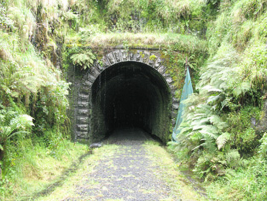 tunneltunnel · 352 yd
 bridgebridge · 356 yd
 Enclosure in GlendarraghEnclosure · 706 yd
 Enclosure in Garryduff (glenquin By., Garryduff Ed)Enclosure · 1143 yd
 Sugar HillMountain / peak · 1.8 mi
 TobereenalaffinaSpring · 2.1 mi
 Limerick GreenwayWalking route · 2.4 mi
 Glenquin CastleCastle · 2.8 mi
 Barnagh HillMountain / peak · 3.5 mi
 Templars Castle (in ruins)Castle, Anglo-Norman masonry castle · 3.6 mi
 Saint Ite's WellSpring · 3.8 mi
 Lawson's CypressLawson's Cypress · 6.8 mi