What is recorded here
Half-buried in grass on a drumlin ridge in Glencorick, the fort keeps its shape despite age and neglect. A thick earthen bank still circles the inner field, though trees and scarp have taken the eastern edge. The widened southeast gap likely marks the true entrance, while the western break is a modern wound. People may have lived here, farmed here, or feared what the land remembered. The fort does not need belief to be strange. It is strange because it remains visible, separate, and unchanged while the world around it forgets.
Situated on the summit of an E-W drumlin ridge with a higher knoll c. 150m to the W. This is a subcircular grass-covered area (dims 34.5m E-W; 29.5m N-S) defined by an earthen bank (Wth of base 4.4m; Wth of top 1.5m) W-N which is reduced to a scarp with trees elsewhere. This is separated by a berm from an outer field bank. There is a modern gap in the bank at W but the original entrance is likely to be the widened entrance (Wth of base 5m) at SE.
The above description is derived from the published 'Archaeological Inventory of County Monaghan' (Dublin: Stationery Office, 1986). In certain instances the entries have been revised and updated in the light of recent research.
Revised by: Michael Moore
Date of revision: 19 June 2019
The monument record does not grant public access. Check the route and ask the landowner before entering private land.
- What survives
- Recorded monument
Places near here
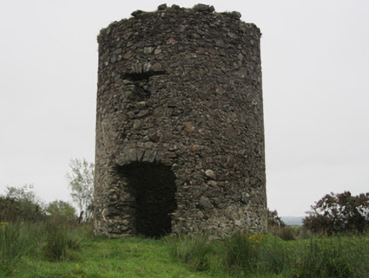 Old Windmillmill (wind) · 947 yd
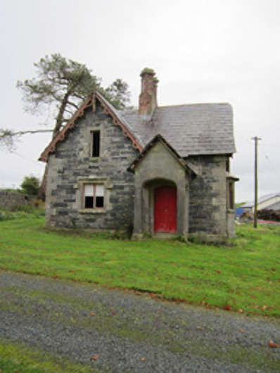 Fair Fieldgate lodge · 993 yd
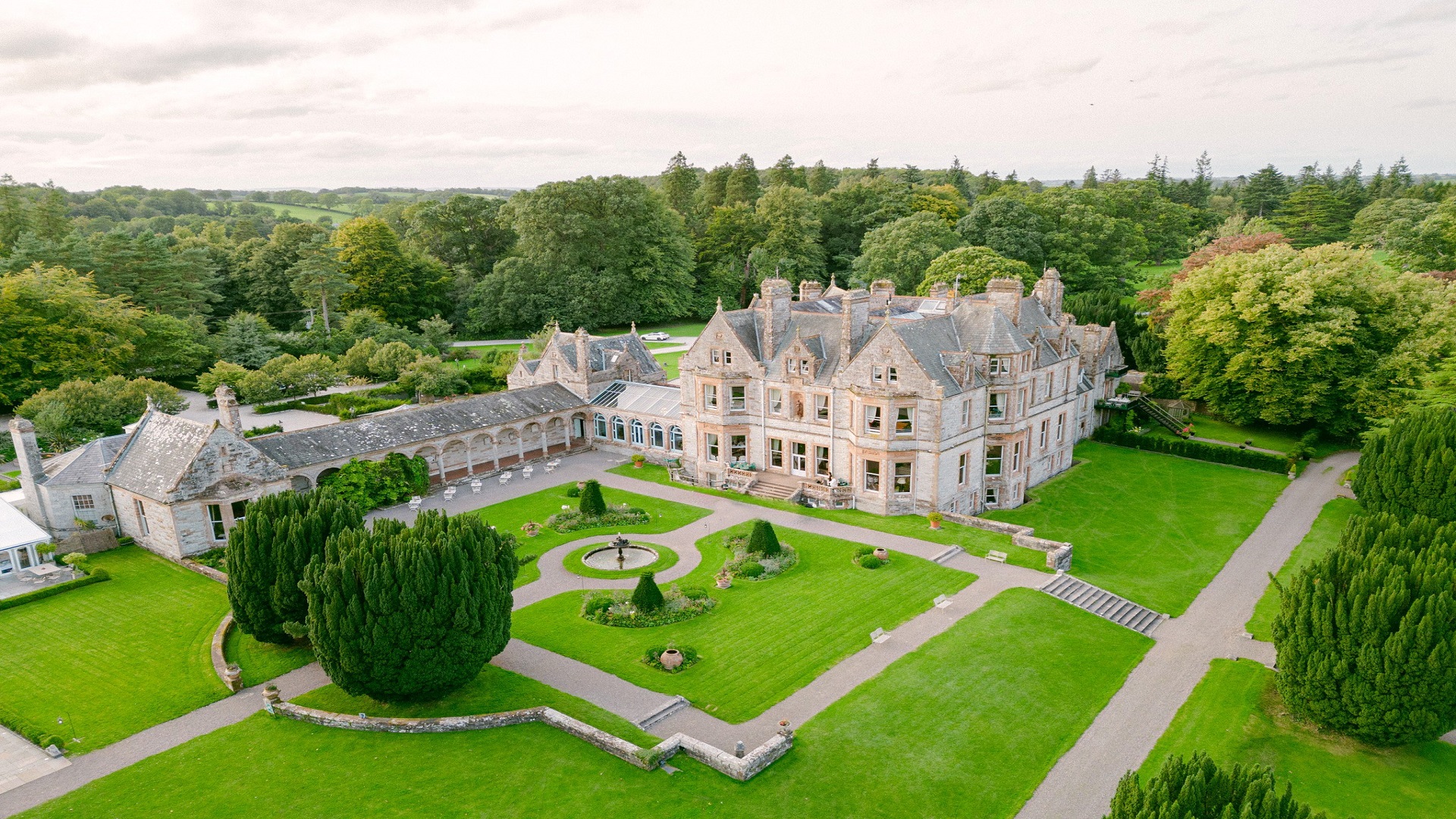 Embanked enclosureFairy fort / earthen ringfort · 1672 yd
 LisnaspeenanMountain / peak · 1677 yd
 Hut site in MilltownHut site · 1.0 mi
 Fedd HillMountain / peak · 1.4 mi
 Back WoodForest · 1.8 mi
 Dartrey ForestForest · 2.1 mi
 Roosky Castle (Site of)Castle, ringwork · 5.8 mi
 Site of Old CastleCastle, unclassified · 6.6 mi
 Senator Billy Fox 1939 - 1974Memorial · 6.9 mi
 Gull IslandIslet · 9.6 mi