What is recorded here
In level pasture with a barrow (TS066-156----) located c. 130m to the SE. Not shown on any edition of the OS 6-inch map. Visible as a circular area (diam. c. 10m) on an aerial photograph (OSI 2398/7). No visible surface trace at ground level.
Compiled by: Jean Farrelly
Date of upload: 26 August 2011
The monument record does not grant public access. Check the route and ask the landowner before entering private land.
- What survives
- Recorded monument
Places near here
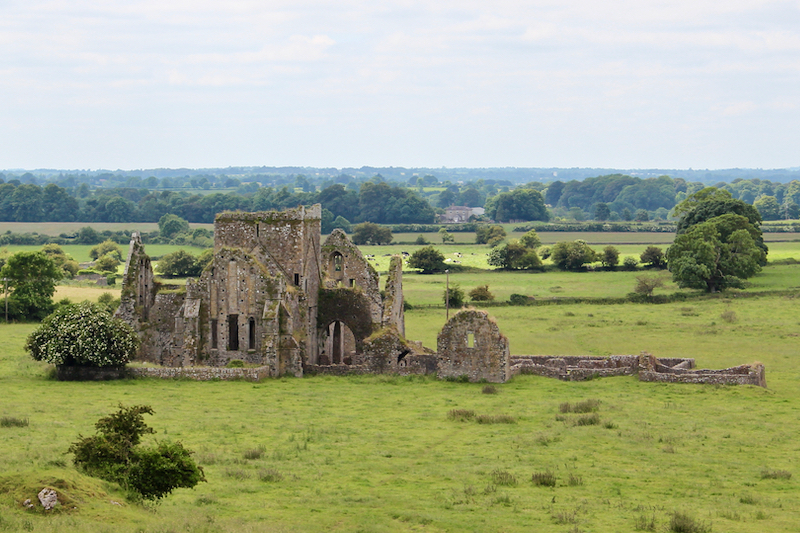 Enclosure in BallynacreeEnclosure · 1270 yd
 Enclosure in Lattin NorthEnclosure · 1479 yd
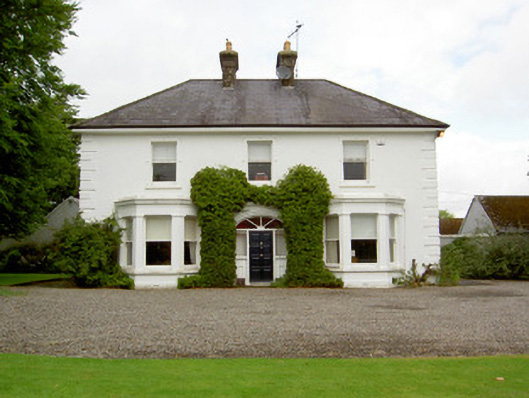 Farranasa Househouse · 1672 yd
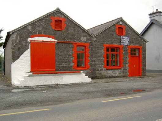 Saint Ailbe's Creamerycreamery · 1.3 mi
 Site of Castle LoaghnyCastle, unclassified · 1.8 mi
 CastleCastle, ringwork · 2.3 mi
 Oola HillMountain / peak · 4.5 mi
 Kilteely HillMountain / peak · 5.0 mi
 St Patrick's WellSpring · 5.1 mi
 St. Patrick's WellSpring · 5.2 mi
 Flat cemetery in Knockainy WestFlat cemetery · 6.2 mi
 Ballinvreena LoopVisitor information · 7.9 mi