What is recorded here
Situated on a slight rise in wet grassland with Yellow River 110m to SSW. Ringfort (WM007-058---) 660m to N. A circular shaped area (approx. diam. 50m N-S; 45m E-W) enclosed by a very poorly preserved earthen bank and shallow external fosse. A post 1700 field drain running ENE-WSW intersects the site at SW, and there is a modern gap at NW. The interior slopes gently from the centre to the S & SSE, and has slight traces of cultivation ridges which run N-S.
Compiled by: Frank Coyne and Caimin O'Brien
Date of upload: 14 April 2017
The monument record does not grant public access. Check the route and ask the landowner before entering private land.
- What survives
- Recorded monument
Places near here
 Partially hachuredFairy fort / earthen ringfort · 1231 yd
 OutlinedFairy fort / earthen ringfort · 1390 yd
 Water millWater mill, vertical-wheeled · 1756 yd
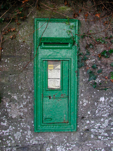 post boxpost box · 1.1 mi
 KnockeyonMountain / peak · 1.8 mi
 Castle IslandIslet · 1.9 mi
 Bawn in KiltoomBawn · 2.8 mi
 Mortimer's CastleArchaeological place · 2.8 mi
 South East GateHeritage attraction · 3.0 mi
 St Feichin's MillHeritage attraction · 3.1 mi
 Silver FirSilver Fir · 3.5 mi
 Pedunculate OakPedunculate Oak · 3.6 mi