
What is recorded here
Situated on S face of rising ground with good views from E-S-W, overlooked by rising ground to the N and NE. River 180m to SW. Ringfort (WM007-056----) 270m to W. Annotated on the 1837 OS Fair Plan as a sub-rectilinear enclosure with trees on its perimeter. An ASI field report from 1974 described the N portion of the monument as being quarried away, leaving a wide bank and shallow fosse (diam. 40m E-W). The interior sloped from N-S. A second ASI report from 1975 described the monument as being completely levelled. Faint crop mark of levelled enclosure visible on Digital Globe aerial photograph taken November 2011.
Compiled by: Frank Coyne and Caimin O'Brien
Date of upload: 14 April 2017
A local fairy fort (ringfort/rath); wider significance not recorded.
The monument record does not grant public access. Check the route and ask the landowner before entering private land.
- What survives
- Recorded monument
Places near here
 Enclosure in Milltown (fore By.)Enclosure · 1035 yd
 Crannog in DerrynagarraghCrannog · 1200 yd
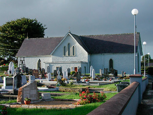 Catholic Church of Saint John the Baptistchurch/chapel · 1242 yd
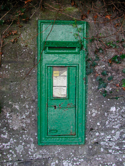 post boxpost box · 1256 yd
 KnockeyonMountain / peak · 1.2 mi
 Mortimer's CastleArchaeological place · 2.4 mi
 Bawn in KiltoomBawn · 2.6 mi
 Silver FirSilver Fir · 3.6 mi
 European BeechEuropean Beech · 3.6 mi
 South East GateHeritage attraction · 3.7 mi
 St Feichin's MillHeritage attraction · 3.8 mi
 Ben of ForeMountain / peak · 4.3 mi
Other information
Photo: Credit not shown in the picture search · Rights wording not checked; contact us if this picture should be removed