What is recorded here
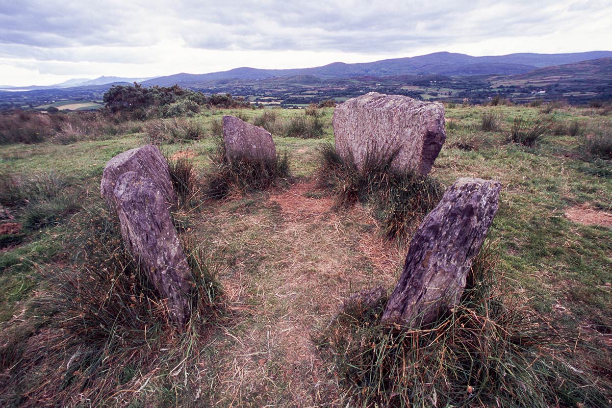
Fairy forts are not fairy forts. They are human dwellings from before written records, misnamed because people stopped understanding them. The ring at Gilcagh is one of the last visible ones in County Cork, its earthen bank still tracing a circle through pasture that has been farmed for generations. What is lost is not the wall but the knowledge of the people who built it, lived there, and disappeared from memory.
In pasture. Depicted as hachured circular enclosure (diam. c. 30m) on 1842 OS 6-inch map. Arc formed by earthen bank survives W->N in field fence system, as depicted on 1904 and 1937 OS 6-inch maps.
The above description is derived from the published 'Archaeological Inventory of County Cork. Volume 3: Mid Cork' (Dublin: Stationery Office, 1997). In certain instances the entries have been revised and updated in the light of recent research.
Date of upload/revision: 14 January 2009
The monument record does not grant public access. Check the route and ask the landowner before entering private land.
- What survives
- Recorded monument
Places near here
 BarrowBarrow, ring-barrow · 658 yd
 bridgebridge · 1053 yd
 Man-made underground passage in Kilclogh (muskerry East By.)Man-made underground passage · 1078 yd
 KilnKiln, lime · 1134 yd
 Ballyvodane Castle (in Ruins)Castle, unclassified · 1.3 mi
 Ballyanly Inniscarra Slí na SláinteWalking route · 2.5 mi
 Garrycloyne Castle (in Ruins)Castle, tower house · 3.5 mi
 Pairc Ath Na hEornaMemorial · 3.7 mi
 Pakie HoganMemorial · 3.7 mi
 New TipperaryVisitor information · 3.8 mi
 BatsVisitor information · 4.2 mi
 Lion RockNamed rock · 4.4 mi