
What is recorded here
Thirty-eight metres of grassy circle on a Meath ridge, its earthen banks and fosse still marking the edge of an old enclosed life. The eastern entrance has faded under soil and traffic, yet the double defence and central tray remain clear enough to walk around at dawn. Whatever hands built it understood that visibility and exclusion belong together, shaping a small world where insight, warning or residence could still happen.
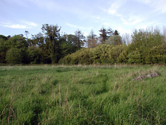
Located at the crest of the S-facing slope of a WNW-ESE ridge towards its E end. This is a circular grass-covered area (diam. 38m) defined by an earthen bank (at SSW: Wth of base 6.7m; Wth of top 0.9m; int. H 0.6m; ext. H 2.2m) separated by a fosse (at SSW: Wth of top 6.8m; Wth of base 2.9m; ext. D 0.3m) and a berm (at SSW: Wth 6.2m) from an outer bank (at SSW: Wth of base 5.1m; Wth of top 0.6m; int. H 0.6m; ext. H 1.8m) with some bushes, and an external fosse (At SSW: Wth of top 3.8m; Wth of base 1.4m; ext. D 0.45m). The outer fosse is replaced by a drain with an outer road bank NNW-ENE. The interior has probably been dug out and the earthworks are poorly preserved at E, where entrance may have been (max. ext. diam. 96m E-W). Archaeological testing (11E0366) by P. D. Sweetman c. 100m to the E produced no related material (excavations.ie 2011:479).
The above description is derived from the published 'Archaeological Inventory of County Meath' (Dublin: Stationery Office, 1987). In certain instances the entries have been revised and updated in the light of recent research.
Compiled by: Michael Moore
Date of upload: 10 July 2007
Amended: 27 January 2021, 19 March, 2021
The monument record does not grant public access. Check the route and ask the landowner before entering private land.
- What survives
- Recorded monument
Places near here
 Font in GernonstownFont · 300 yd
 Font (present location) in Rushwee (slane Upper By., Slane Ed)Font (present location) · 1403 yd
 Pollmore WoodWood · 1671 yd
 Boyle's Fox CovertWood · 1.2 mi
 Slane CastleCastle, unclassified · 1.6 mi
 walled gardenwalled garden · 1.7 mi
 Church in CarrickdexterChurch · 1.8 mi
 MoatCastle, motte · 2.0 mi
 Pat's Art StudioGallery · 2.3 mi
 RiverviewMemorial · 2.4 mi
 Mullagha HillMountain / peak · 2.5 mi
 Simpson's MountainMountain / peak · 2.7 mi
Other information
Photo: Credit not shown in the picture search · Rights wording not checked; contact us if this picture should be removed