What is recorded here
Fairy fort / ringfort in Gaybrook Demesne is a fairy fort or ringfort in Gaybrook Demesne, County Westmeath, Ireland. The site sits on a slight rise in gently undulating pasture with good views to the southeast and west. The 1837 OS Fair Plan map depicts an oval-shaped earthwork defined by a scarp and annotated “fort,” while the 1876 edition OS 6-inch map shows an oval-shaped earthwork enclosed by a bank. A 1971 account described the levelled monument as having no surface remains visible, and the site is considered suitable for a ringfort.
Situated on a slight rise, in gently undulating pasture, with good views to SE and W. Depicted on the 1837 OS Fair Plan map as an oval-shaped earthwork defined by a scarp and annotated ‘fort’. Depicted on the 1876 ed. OS 6-inch map as an oval-shaped earthwork enclosed by a bank. Levelled monument described in 1971 as no surface remains visible. The site is suitable for a ringfort.
Compiled by Alison McQueen, Vera Rahilly and Caimin O’Brien.
Date of upload: 04 November 2019
The monument record does not grant public access. Check the route and ask the landowner before entering private land.
- What survives
- Recorded monument
Places near here
 Bawn in Simonstown (fartullagh By.)Bawn · 579 yd
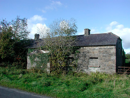 worker's houseworker's house · 1204 yd
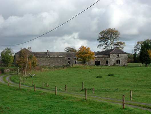 Gaybrook Housefarmyard complex · 1204 yd
 Castle in RuinsCastle, tower house · 1267 yd
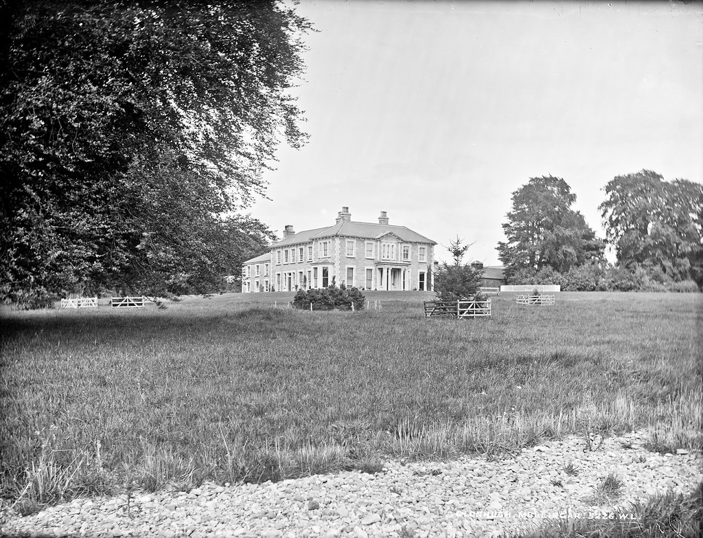 Partially indicatedEnclosure · 1375 yd
 Fulacht fia in Corbally (fartullagh By.)Fulacht fia · 1723 yd
 Dysart IslandIsland · 4.0 mi
 Ash IslandIslet · 4.2 mi
 The Chimera GalleryGallery · 4.6 mi
 Famine MemorialMemorial · 4.6 mi
 Derrygreenagh HillMountain / peak · 5.5 mi
 GinkgoGinkgo · 9.9 mi