What is recorded here
Situated on the N face of a small ridge with restricted views on all sides. A small lake lies 60m to N. The road which marks the boundary with Galmoylestown Lower is 15m to NE. Ringfort (WM012-050---) 65m to NW. Depicted on the 1837 OS Fair Plan map as an oval-shaped enclosure and annotated as ‘fort’. The site was not depicted on any subsequent edition of the OS 6-inch maps. The monument has been largely levelled and is visible as a cropmark on Digital Globe aerial photograph taken November 2011. On this aerial photograph cropmark of a possible rectangular annexe is visible at NE with linear earthwork possibly a sunken way visible immediately to S. The ringfort was described in 1970 as a sub-circular shaped area (approx. dims 39m NE-SW; 31m NW-SE) enclosed by the remains of a poorly preserved earthen bank and external fosse. From WSW-NNW the bank has been reduced to a scarp.
Compiled by: Frank Coyne and Caimin O'Brien
Date of upload: 9 February 2018
The monument record does not grant public access. Check the route and ask the landowner before entering private land.
- What survives
- Recorded monument
Places near here
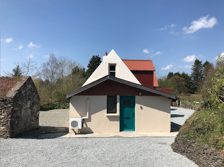 RathmoreArchaeological place · 319 yd
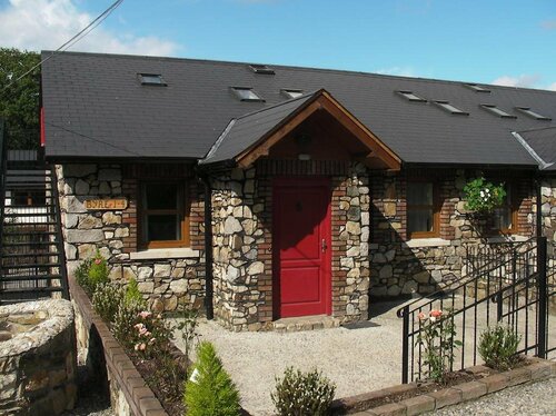 Hachured, RathmoreFairy fort / earthen ringfort · 322 yd
 CastleCastle, motte · 1346 yd
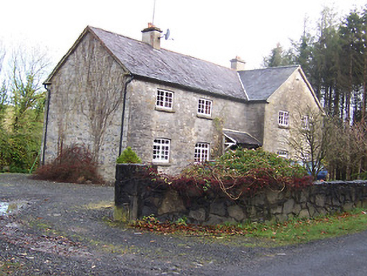 Woodview Househouse · 1736 yd
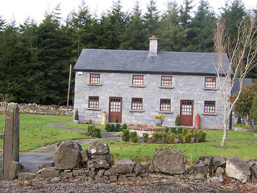 The Holliesworker's house · 1.1 mi
 Scragh Bog Nature ReserveNature reserve · 1.7 mi
 Knockdrin CastleCastle · 1.8 mi
 Long PlantingForest · 2.0 mi
 KnockeyonMountain / peak · 2.3 mi
 Church IslandIsland · 2.6 mi
 Bridge Memorial (Kenna)Memorial · 3.2 mi
 Srudarra IslandIslet · 3.4 mi