What is recorded here
In pasture, in SE corner of field, 120m W of a stream that marks townland boundary with Kilduff. Ring-barrow (LI024-184----) lies 120m to SE. Not depicted on OS historical mapping. Identified by the Bruff aerial photographic survey in 1986 (Bruff 36; AP 4/3672) as a small circular cropmark of a possible ring-barrow. Cropmark is visible on OSi orthophotos taken 2005-2012 and on Google Earth orthoimage taken 18/11/2018.
See attached Google Earth orthoimage and Bruff survey image marked Bruff 36
Compiled by: Fiona Rooney
Date of upload: 27 July 2020
A Neolithic ring-barrow; significant as an early funerary monument identified through aerial photography, indicating prehistoric burial practices in the area.
The monument record does not grant public access. Check the route and ask the landowner before entering private land.
- What survives
- Recorded monument
Places near here
 BarrowBarrow, ring-barrow · 285 yd
 Enclosure in Pallas (coonagh By.)Enclosure · 483 yd
 Ballynaclogh Church (in ruins)Church · 782 yd
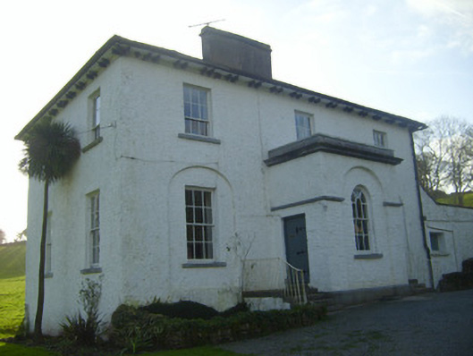 Moymore Houserectory/glebe/vicarage/curate's house · 924 yd
 Pallas MoatCastle, motte · 1197 yd
 (Site of) CastleCastle, unclassified · 1208 yd
 ToberagaddySpring · 1.1 mi
 KnockseefinMountain / peak · 1.3 mi
 St. Patrick's WellSpring · 3.0 mi
 Kilteely HillMountain / peak · 3.4 mi
 Flat cemetery in Knockainy WestFlat cemetery · 7.2 mi
 Enclosure in KilduffEnclosure · 762 yd