
What is recorded here
In modern conifer plantation 150m W of ring-barrow (LI024-155----). Not depicted on the OS maps. Identified by Bruff aerial photographic survey in 1986 (Bruff 96; AP 4/3677) as a circular shaped cropmark cut by an E-W running field boundary. No visible trace of monument on Google Earth orthoimage dated 28/06/2018, which shows the area as a coniferous plantation. A group of post-1700 buildings are depicted at this location on the 1840 ed. OS 6-inch map and the levelled remains of these buildings along with their enclosing field boundaries is probably the cropmarks identified on the Bruff Survey.
See attached Bruff Survey aerial image
Compiled by: Martin Fitzpatrick
Date of upload: 23 July 2020
A local fairy fort (ringfort/rath); wider significance not recorded.
This remains an important historical record, but the official description says the monument is no longer visible or has been destroyed. The monument record does not grant public access. Check the route and ask the landowner before entering private land.
- What survives
- No visible remains or recorded as destroyed
Places near here
 EnclosureEnclosure, large enclosure · 580 yd
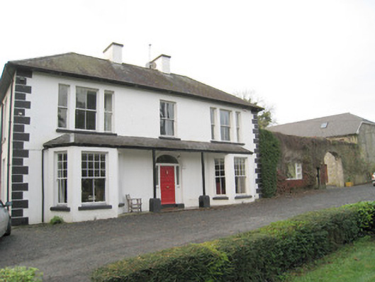 Mount Catherinehouse · 878 yd
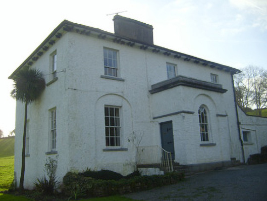 Moymore Houserectory/glebe/vicarage/curate's house · 931 yd
 Enclosure in Pallas (coonagh By.)Enclosure · 983 yd
 Kilduff Castle (in ruins)Castle, tower house · 1136 yd
 Kilduff CastleCastle · 1136 yd
 ToberagaddySpring · 1159 yd
 KnockseefinMountain / peak · 1.1 mi
 St. Patrick's WellSpring · 3.3 mi
 Kilteely HillMountain / peak · 3.7 mi
 Flat cemetery in Knockainy WestFlat cemetery · 7.6 mi
 BarrowBarrow, ring-barrow · 1003 yd
Other information
Photo: Credit not shown in the picture search · Rights wording not checked; contact us if this picture should be removed