
What is recorded here
In wet, level pasture, with excellent views of Knockseefin to WNW and 45m NW of a townland boundary with Ballyhurst. A cluster of six possible barrows (LI024-049002-/007-), with enclosure (LI024-049001-) in centre of field. Depicted as a circular-shaped enclosure on the 1840 ed. OSi 6-inch map. Shown on the revised 1897 ed. OS 25-inch map as a suboval-shaped enclosure.
Monument described by O’Dwyer (1959, 72) as following; ‘The local name for this site is ‘Rathfaun’. This again is large, the internal diameter being about 200’ (61m) though it is not quite circular. The whole of the interior area is slightly raised above the level of the surrounding field and in the NE quadrant are what appear to be the remains of a circular house 21’ (6.4m) in diameter. The outline of this structure is about 1’ (0.3m) over the level of the garth of the fort. The enclosing bank is denuded to a height of about 3’ (0.9m) and its basal width is about 10’ (3.1m). A 6’ (1.8m) wide gap on the E side may have been the original entrance. The wide ditch, about 18’ (5.5m) across, seems to have a trench connecting it with an adjacent stream as if to enable it to be water-filled. Identified as a large oval-shaped earthwork by the Bruff aerial photographic survey (Bruff 90.1: AP 4/3678) in 1986.
Monument surveyed by ASI in 2008 and described as consisting of an oval-shaped area (dims. 54m NW-SE; 44m NE-SW) defined by a bank (Wth 5.9m; int. H 0.25m at E; int. H 0.8m at S; ext. H 1.5m) with external fosse (total Wth 9.3m; basal Wth 2m; D 0.6m) best defined NNW-ESE and outer bank (Wth 8.25m; int. H 0.6m; ext. H 0.4m) visible from ENE-ESE and traceable from NNW-N. Inner bank has numerous breaches (Wth 2.75m) at N; NE; at ENE (Wth 3m) and at SSW (Wth 5m). Slightly uneven within interior and ring-barrow (LI024-8NEW) is off-centre to E. Barrow (LI024-9NEW) to NNE and conjoined barrow (LI024-10NEW) to SW of exterior. Drain running NE-SW with broad bank (Wth 2.2m) on N-side, extends from fosse at N.
Ringfort is visible as a large oval-shaped earthwork on ASIAP (118, 6) taken in 2000, on OSi orthoimage taken 2005-2012, on Digital Globe orthoimage taken 2011-2013, and on Google Earth orthoimage taken 28/06/2018.
See attached profile drawn by O’Dwyer in 1959, Bruff aerial photo taken in 1986 numbered 90.1 and Google Earth orthoimage taken 28/06/2018.
Compiled by: Alison McQueen and Vera Rahilly
Date of upload: 30 September 2020
A local fairy fort (ringfort/rath); wider significance not recorded.
The monument record does not grant public access. Check the route and ask the landowner before entering private land.
- What survives
- Recorded monument
Places near here
 Enclosure in KilduffEnclosure · 224 yd
 RathbaunArchaeological place · 477 yd
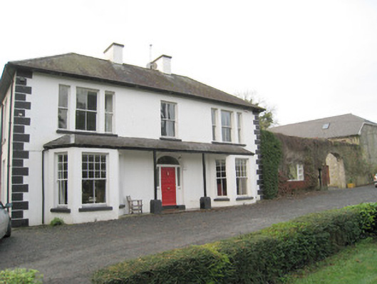 Mount Catherinehouse · 973 yd
 ToberagaddySpring · 1013 yd
 Kilduff CastleCastle · 1103 yd
 Kilduff Castle (in ruins)Castle, tower house · 1104 yd
 Ballynaclogh Church (in ruins)Church · 1111 yd
 KnockseefinMountain / peak · 1.4 mi
 St. Patrick's WellSpring · 3.5 mi
 Oola HillMountain / peak · 3.8 mi
 Flat cemetery in Knockainy WestFlat cemetery · 7.8 mi
 BarrowBarrow, ring-barrow · 887 yd
Other information
Photo: Credit not shown in the picture search · Rights wording not checked; contact us if this picture should be removed