What is recorded here
Immediately N of a prominent E-W running ridge in rolling farmland. A well-preserved circular barrow (D 17.25m) consisting of a flat central area (D 3.8m, H 0.8m max.) encircled by a fosse, and a well-defined flat-topped external bank which has traces of an outer stone revetment at SE. A modern soil heap abuts it at NE.
The above description is derived from the published 'Archaeological Inventory of County Galway Vol. II - North Galway'. Compiled by Olive Alcock, Kathy de hÓra and Paul Gosling (Dublin: Stationery Office, 1999).
Date of upload: 05 August 2010
A Neolithic ring-barrow; dated to c. 2500–2000 BCE. It is significant as a rare and well-preserved example of a circular funerary monument, reflecting early communal burial practices in the region.
The monument record does not grant public access. Check the route and ask the landowner before entering private land.
- What survives
- Recorded monument
Places near here
 Killererin Church (in Ruins)Church · 889 yd
 Saint Mary's Catholic Churchbell tower/stand · 918 yd
 Field system in Barnaderg NorthField system · 1047 yd
 Barnaderg CastleCastle · 1098 yd
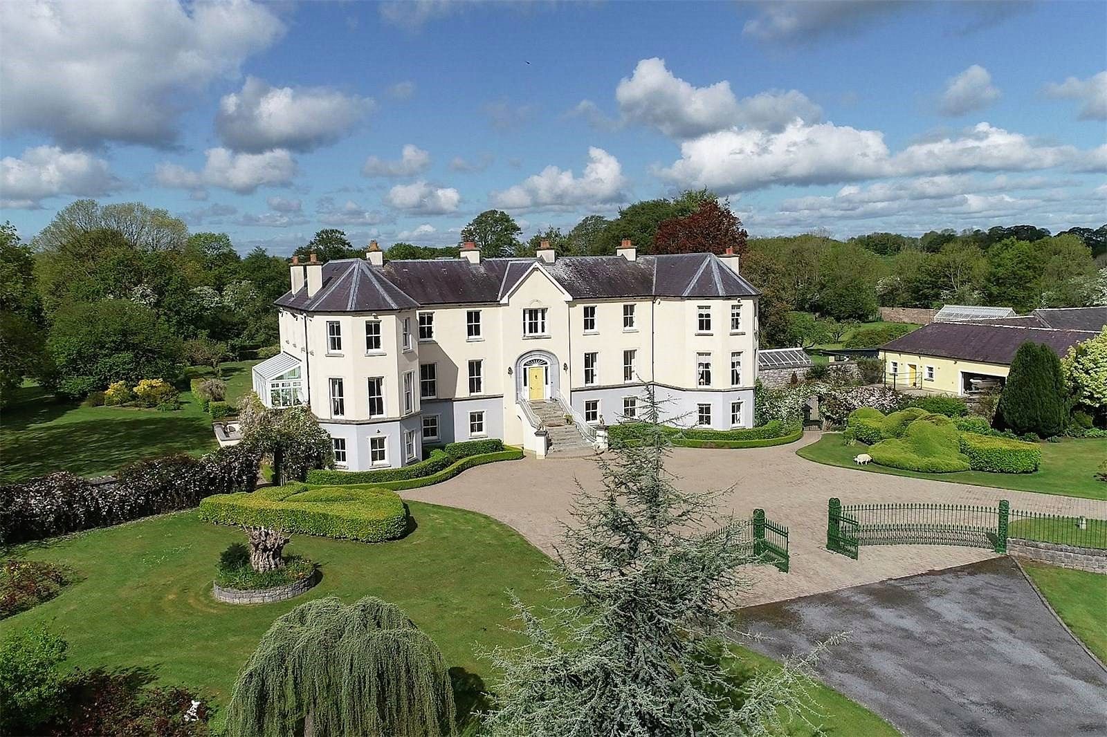 Lisherriddy FortFairy fort / earthen ringfort · 1.1 mi
 Knockmoy AbbeyHeritage attraction · 2.5 mi
 Ballinderry CastleCastle, tower house · 4.0 mi
 European ashEuropean ash · 7.6 mi
 Menlough IRAMemorial · 7.9 mi
 Mass RockNamed rock · 8.7 mi
 KnockmaaWood · 9.2 mi
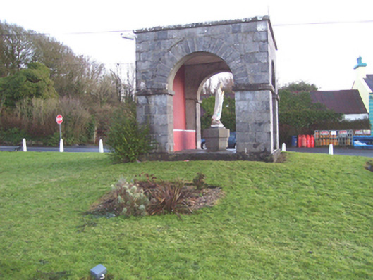 monumentmonument · 1485 yd