
What is recorded here
Garraneduff holds a vanished circular enclosure on a north-facing slope above the Blackwater and Owenbaun valleys. Maps from 1842 and 1904 still sketch its platform, though ploughing and pasture have reduced it to a slight scar in the ground. The view stretches across two river valleys, suggesting the site was chosen to be seen rather than hidden. Whatever stood there has yielded to grass and memory, leaving only a small rise where human hands once shaped the hill.
In pasture, on break in N-facing slope overlooking Blackwater River valley to N and Owenbaun River valley to E. Depicted as hachured circular enclosure (diam. c. 14m) on 1842 OS 6-inch map; as hachured platform (diam. c.10m) on 1904 OS 6-inch map. Levelled; trace of enclosure survives as slight scarping up of ground on downslope to N. Broker (1937, 48) recorded on land of 'John Mahony. Fort less than 1/4 acre, very small'. Possible Man-made underground passage (9026) in interior.
The above description is derived from the published 'Archaeological Inventory of County Cork. Volume 3: Mid Cork' (Dublin: Stationery Office, 1997). In certain instances the entries have been revised and updated in the light of recent research.
Date of upload/revision: 14 January 2009
The monument record does not grant public access. Check the route and ask the landowner before entering private land.
- What survives
- Recorded monument
Places near here
 Man-made underground passageMan-made underground passage · 319 yd
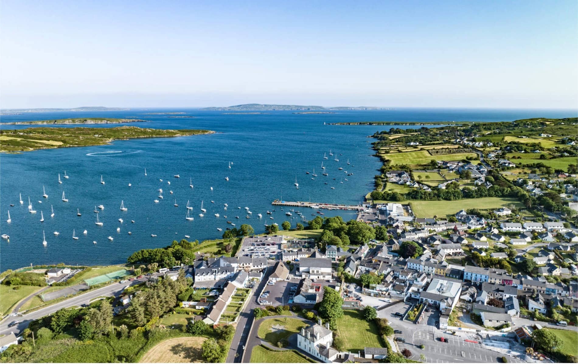 IndicatedFairy fort / earthen ringfort · 422 yd
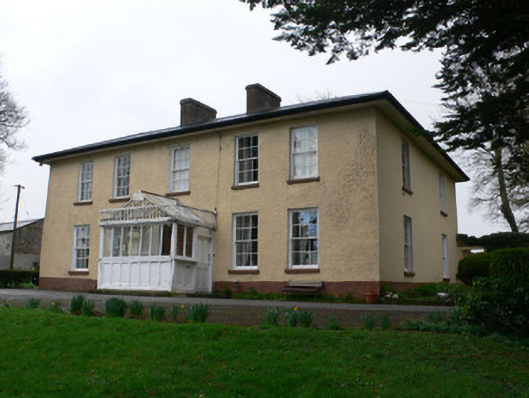 Tullig Househouse · 1273 yd
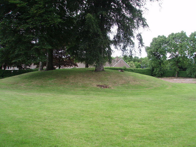 TumulusKiln, lime · 1356 yd
 Castle and TurretCastle, tower house · 1.5 mi
 Millstreet Tourist InformationVisitor information · 1.7 mi
 St. Patrick's ChurchVisitor information · 1.7 mi
 Millstreet Museum & Tourist Information CentreMuseum · 1.8 mi
 RowanRowan · 2.0 mi
 Dromsicane Castle (in Ruins)Bawn · 2.3 mi
 Blackwater (Duhallow) WayWalking route · 2.7 mi
 Rathcool WoodWood · 2.8 mi
Other information
Photo: Credit not shown in the picture search · Rights wording not checked; contact us if this picture should be removed