
What is recorded here
Garnagale holds a ghost village beneath ordinary farmland. A fifty-metre circular enclosure, a ring-ditch, a rectangular enclosure and a ringfort all cluster within two hundred metres, yet none can be walked or touched today. They appear only when crop growth reveals hidden shape from above. The land remembers more than it shows.
In undulating terrain, under tillage. There is a ring-ditch (KK012-052002-) c. 45m to the E, a possible rectangular enclosure (KK012-052004-) c. 30m to the NE, an enclosure (KK012-051----) c. 180m to the NE and a ringfort (KK012-053----) c. 175m to the E. A circular enclosure (diam. c. 50m) showing as cropmark on aerial photograph (CUCAP BDL040, 15 July 1970). It is not visible at ground level.
See attached photograph:
KK012-052001-_01 CUCAP BDL040, 15 July 1970
Compiled by: Jean Farrelly
Date of upload: 12 June 2019
The monument record does not grant public access. Check the route and ask the landowner before entering private land.
- What survives
- Recorded monument
Places near here
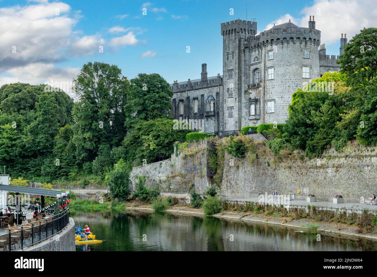 HacahuredFairy fort / earthen ringfort · 242 yd
 CastleCastle, tower house · 609 yd
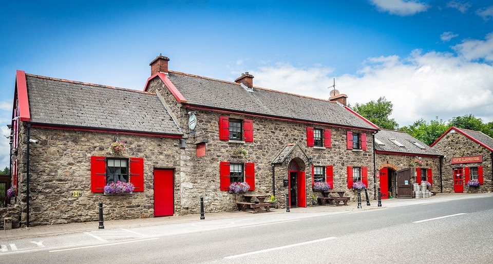 Garnagale Ringfort (rath)Archaeological place · 696 yd
 Lisduff Bridgebridge · 1026 yd
 rectory/glebe/vicarage/curate's houserectory/glebe/vicarage/curate's house · 1188 yd
 Kildrinagh WoodForest · 1.5 mi
 Four Acre WoodForest · 1.6 mi
 Killahy Castle in ruinsCastle, unclassified · 1.9 mi
 Kilcooly AbbeyHeritage attraction · 2.3 mi
 Clomantagh HillMountain / peak · 3.6 mi
 Bregaun HillMountain / peak · 3.9 mi
 John HelyMemorial · 4.3 mi
Other information
Photo: Credit not shown in the picture search · Rights wording not checked; contact us if this picture should be removed