What is recorded here
Indicated is a well-preserved cashel in County Galway, its drystone wall still drawing a clear subcircular line across a gentle south-facing grassland slope. The western gap is narrow enough to suggest an entrance rather than decay, while the hidden passage and possible burial beneath the grass imply that the fort still keeps more than it shows. People may have lived, buried or avoided the place under changing skies, but the stones remain steady against that forgetting.
On a gentle S-facing slope in grassland. Well-preserved subcircular cashel (76.3m E-W; 70.5m N-S) defined by a fairly uniform drystone wall. A gap (Wth 2.6m) at WSW may be original. A Man-made underground passage (GA096-093001-) and a possible burial (GA096-093002-) are associated. (McCaffrey 1952, 157, no. 66)
Compiled by: Galway Archaeological Survey, UCG
Date of upload: 19 December 2017
The monument record does not grant public access. Check the route and ask the landowner before entering private land.
- What survives
- Recorded monument
Places near here
 bridgebridge · 748 yd
 Strongfort Castle (in ruins)Castle, tower house · 791 yd
 Pete’s CastleCastle · 891 yd
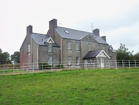 Ballymore Parkcountry house · 1435 yd
 IndicatedFairy fort / ringfort · 1.1 mi
 Moyard WoodWood · 1.9 mi
 Athenry AbbeyHeritage attraction · 4.5 mi
 Athenry CastleHeritage attraction · 4.7 mi
 Horse-chestnutHorse-chestnut · 4.9 mi
 MweenisharanIslet · 9.9 mi
 Caher CastleCastle · 1052 yd