What is recorded here
Fairy fort / earthen ringfort in Galmoylestown Lower is a fairy fort or earthen ringfort in Galmoylestown Lower, County Westmeath, Ireland. The circular area is approximately 28 metres in diameter along a north-northwest to south-southeast axis and is enclosed by a low, poorly preserved earthen bank and a well-defined external fosse. This fosse is infilled at the southwest and steepened from the east to the south, while a possible causewayed entrance measuring 2.4 metres wide and 0.2 metres high is located at the south-southeast.
Situated on the lower SSE face of a high ridge in gently undulating grassland with good views to the SW and W with a small lake 60m to NE. Ringfort (WM012-049----) 40m to NW. A circular shaped area (approx. diam. 28m NW-SE) enclosed by a low poorly preserved earthen bank and a well defined external fosse that has been infilled at SW, and steepened from E-S. There is a possible causewayed entrance (Wth 2.4m; H 0.2m) at SSE. The interior slopes slightly to WSW, and contains traces of cultivation ridges which run ENE-WSW. The fosse is intersected at SW by a field fence running NW-SE. Linear earthworks are visible in field to SE on Digital Globe aerial photograph taken November 2011. A possible sunken road is also visible on the aerial photographs to NW of ringfort. These earthworks are clearly visible on aerial photographs taken by Cambridge University in 1968 and 1970 (CUCAP AVO055-057; BDV073). The earthworks in the field to SE appear to represent field boundaries of two buildings which are depicted on the 1837 ed. OS 6-inch map.
See attached profile of monument surveyed and drawn by the ASI.
Compiled by: Frank Coyne and Caimin O'Brien
Date of upload: 9 February 2018
The monument record does not grant public access. Check the route and ask the landowner before entering private land.
- What survives
- Recorded monument
Places near here
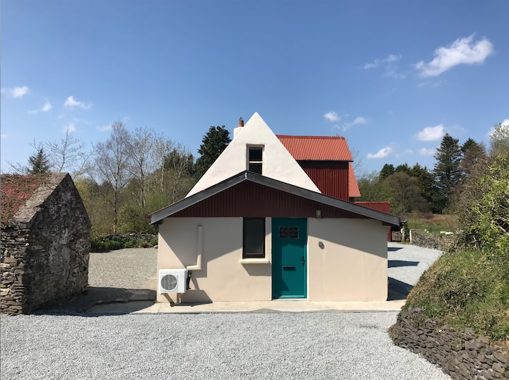 RathmoreArchaeological place · 394 yd
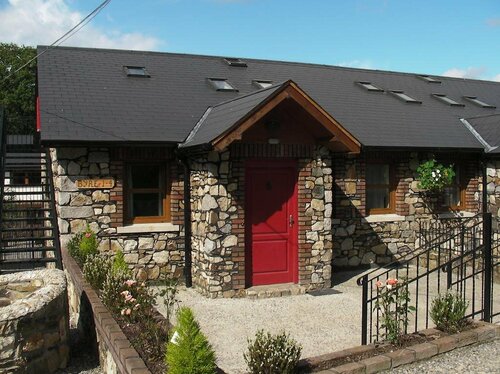 Hachured, RathmoreFairy fort / earthen ringfort · 401 yd
 CastleCastle, motte · 1227 yd
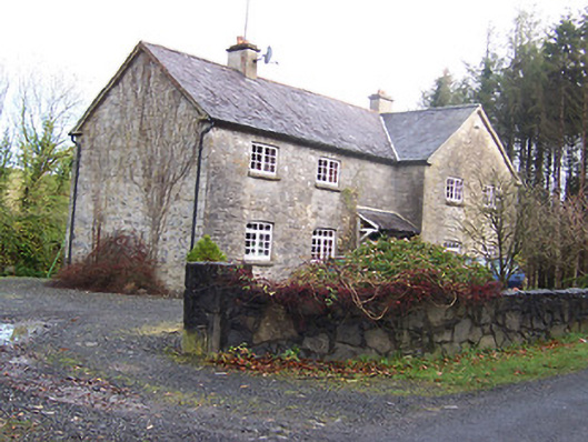 Woodview Househouse · 1.0 mi
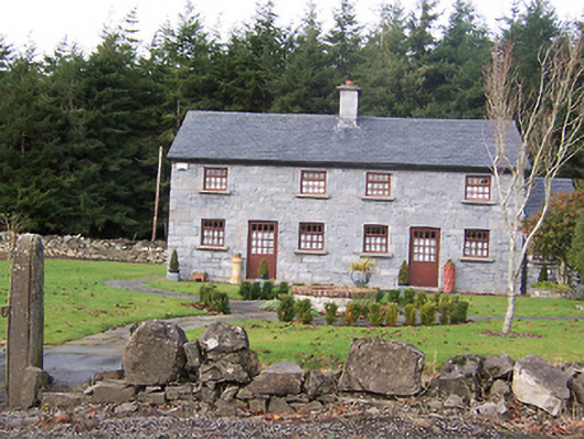 The Holliesworker's house · 1.1 mi
 Scragh Bog Nature ReserveNature reserve · 1.7 mi
 Knockdrin CastleCastle · 1.8 mi
 Long PlantingForest · 2.0 mi
 KnockeyonMountain / peak · 2.3 mi
 Church IslandIsland · 2.6 mi
 Bridge Memorial (Kenna)Memorial · 3.2 mi
 Srudarra IslandIslet · 3.4 mi