
What is recorded here
Gallstown mound stands as a castle motte on level pasture in County Westmeath, visible from every direction. It sits within the demesne of Gallstown House, shown as Castletown House in 1837, where a circular grove marked the same spot. Animals have worn its sides open, revealing an earth core and a flat summit wide enough for a few people to circle. It may have been a defensive castle or a landscaped feature, but it still holds the shape of human intention.
On level pasture with good views in all directions. Located on the demesne lands of Gallstown House depicted in 1837 as Castletown House which is located 160m to the NE. On the 1837 ed. OS 6-inch map this mound is depicted as a circular grove of trees located amongst the landscaped demesne of Castletown House. This map suggests that the mound was either re-used as a landscape feature on the demesne or that it was created as a landscape feature in the post-1700 landscaping of the demesne. Present remains consist of a large flat-topped steep sided mound of earth composed mainly of earth with small stones. The sides of the mound have been defaced by animals which has exposed the core of the mound. The remains of a livestock track can be seen encircling the mound just above the base. There are no signs of a fosse or bailey associated with the mound. The summit (diam. 8m N-S; 10m E-W) of the mound is flat with no sign of any features on its summit.
Compiled by: Caimin O'Brien
Date of upload: 25 July 2013
Built as part of the demesne lands of Gallstown House, likely in the 18th or early 19th century. It is remembered for its historical association with the local estate and as a visible archaeological feature on the landscape.
The monument record does not grant public access. Check the route and ask the landowner before entering private land.
- What survives
- Recorded monument
Places near here
 Church (in Ruins)Church · 594 yd
 milestone/milepostmilestone/milepost · 995 yd
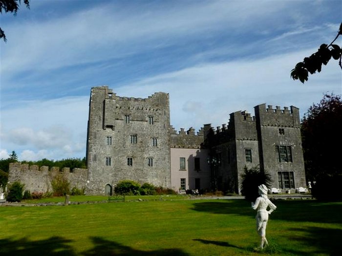 CastleCastle, unclassified · 1510 yd
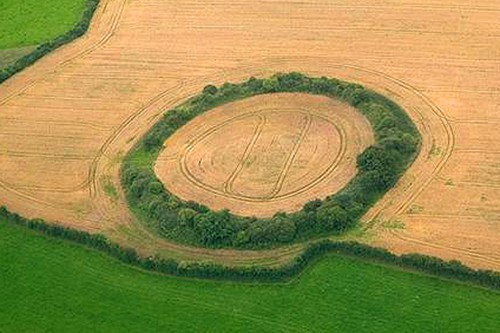 Fairy fort / earthen ringfort in GortumlyFairy fort / earthen ringfort · 1.1 mi
 Site of CastleCastle, unclassified · 1.3 mi
 Partially hachuredEnclosure · 1.9 mi
 Derrygreenagh HillMountain / peak · 3.3 mi
 Knockdrin HillMountain / peak · 3.9 mi
 Mollie Moo's Pet FarmHeritage attraction · 4.5 mi
 Belvedere house and gardensVisitor information · 4.7 mi
 Blind IslandIslet · 5.2 mi
 Roundhill WoodForest · 9.1 mi
Other information
Photo: Credit not shown in the picture search · Rights wording not checked; contact us if this picture should be removed