What is recorded here
This large, broad standing stone is situated adjacent to a farmyard on the SE slopes of Feaghmaan mountain, Valencia Island. The siting commands extensive views to S, over Portmagee Channel. The stone is of rectangular basal plan, measuring 1.15m x .36m; ENE-WSW. It is 1.8m high and is of regular elevation, tapering towards the top. It is partially incorporated into an earthen field bank on its E side.
The above description is derived from A. O'Sullivan and J. Sheehan (compilers), 'The Iveragh peninsula: an archaeological survey of South Kerry'. Cork University Press (1996), no. 181. In certain instances the entries have been revised and updated in the light of recent research.
Date of upload: 28 July 2013
Likely dating to the Neolithic or Bronze Age, this standing stone may have functioned as a territorial marker, ceremonial focus, or astronomical alignment point. No specific folklore is recorded, but its prominent location suggests a connection to prehistoric land use or ritual practice.
The monument record does not grant public access. Check the route and ask the landowner before entering private land.
- What survives
- Recorded monument
Places near here
 Church in Feaghmaan WestChurch · 288 yd
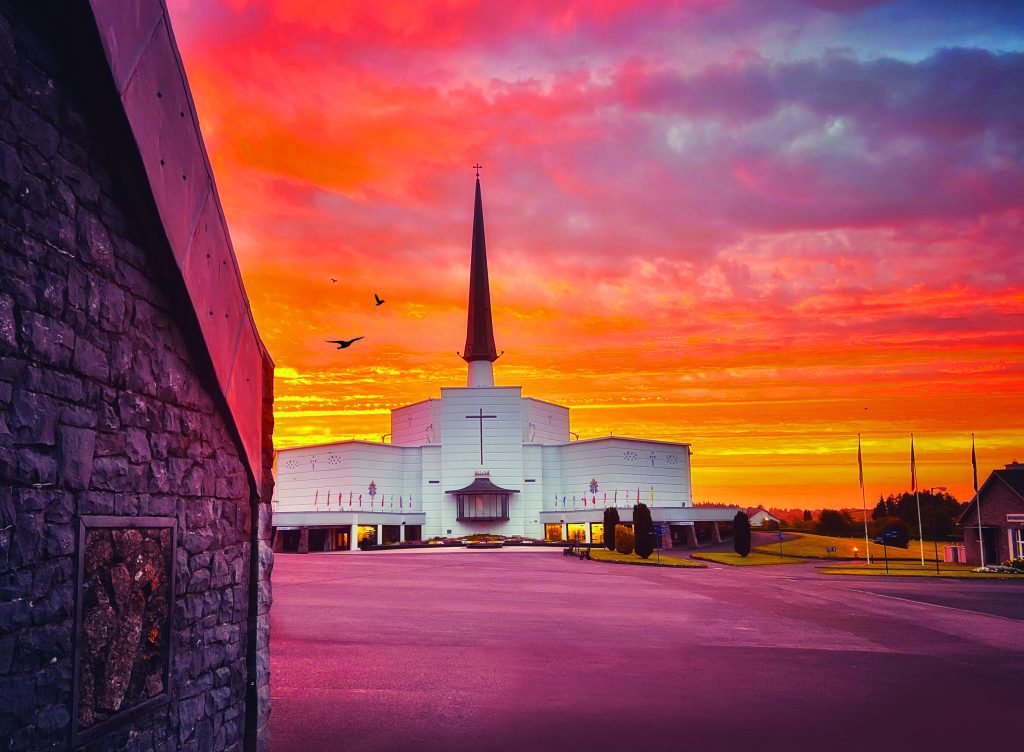 Shrine in Cool EastShrine · 906 yd
 GeokaunMountain / peak · 951 yd
 Fogher CliffCliff · 1106 yd
 ValentiaIsland · 1133 yd
 The GrottoCave · 1239 yd
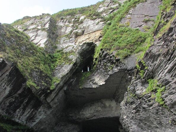 Slate QuarryQuarry · 1360 yd
 Field boundary in DohillaField boundary · 1.1 mi
 Chilean myrtleChilean myrtle · 1.4 mi
 Lily-of-the-valley treeLily-of-the-valley tree · 1.4 mi
 Kilbeg MountainMountain / peak · 1.6 mi
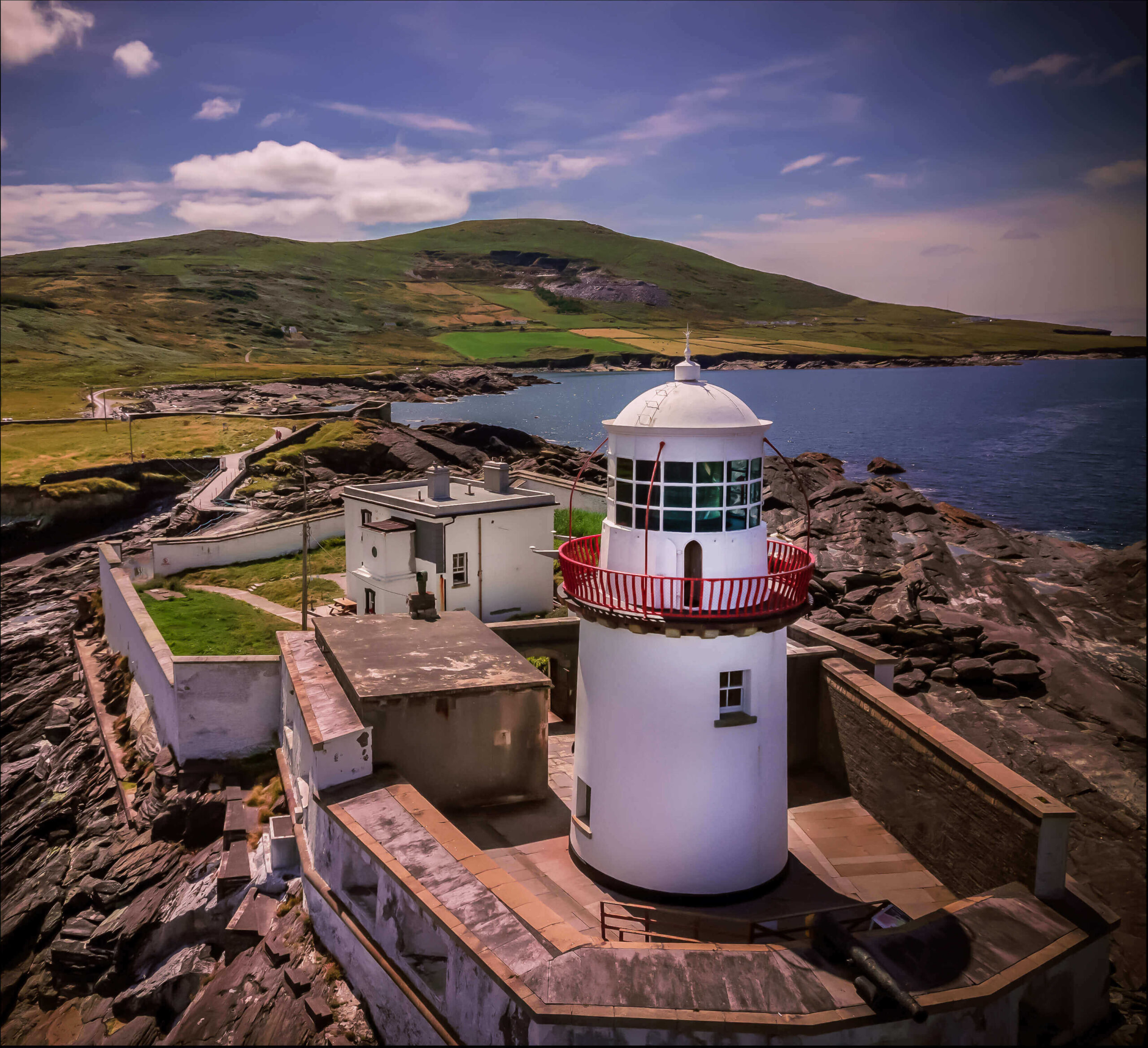 Valentia Island LighthouseMuseum · 1.7 mi