What is recorded here
Rectangular upright stone (H 2m; 0.8m; 0.15m) incorporated into stone wall. Rough Latin cross incised in centre of E face (H 0.27m; Wth 0.16m).
The above description is derived from the published 'Archaeological Inventory of County Cork. Volume 1: West Cork' (Dublin: Stationery Office, 1992). In certain instances the entries have been revised and updated in the light of recent research.
Date of upload/revision: 14 January 2009
Likely dates to the early medieval period (5th–10th century AD), based on the incised Latin cross. Such stones may have served as Christian memorials or waymarkers, and could be associated with local folklore or saintly traditions.
The monument record does not grant public access. Check the route and ask the landowner before entering private land.
- What survives
- Recorded monument
Places near here
 farm housefarm house · 391 yd
 Field boundary in Baile Iarthach Thuaidh (cléire)Field boundary · 448 yd
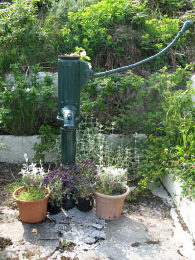 water pumpwater pump · 586 yd
 Earthwork in Baile Iarthach Thuaidh (cléire)Earthwork · 625 yd
 O'Driscoll CastleCastle · 656 yd
 Doonanore Castle (in Ruins)Castle, tower house · 669 yd
 Oifig Fáilte Siopa CeirdVisitor information · 828 yd
 Wild Atlantic Way: CléireVisitor information · 835 yd
 Trá CiaráinBeach / strand · 860 yd
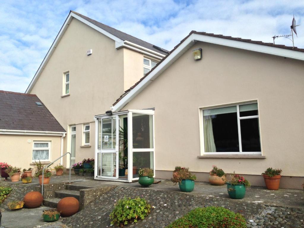 An Gleann LoopWalking route · 1019 yd
 CléireIsland · 1277 yd
 Cape ClearHeadland · 1676 yd