
What is recorded here
Clear Island, west side. Upright slabs at irregular intervals mark old field lines, not a continuous wall. Smaller stones were taken for newer fences east. A cross-inscribed stone still stands inside the old boundary area.
In undulating, rough, heather-covered pasture with occasional outcropping rock, on the W side of Clear Island. A network of relict stone field boundaries (T 0.4-0.5m; max. H 0.4m) extend to the E from Coosnaganoge over a roughly rectangular area (c. 190m E-W; c. 90m N-S). The relict boundaries consist of mainly upright stones set at irregular intervals along a N-S wall at the W and along a NW-SE wall through the middle of the network. The stones appear to be set on the underlying mineral soil. Less distinct remains are indicated by low banks, which were robbed of stones in the past. It is likely that the smaller stones between the taller upright slabs were removed to build the more recent walls for the enclosed fields to the E. The practice of placing upright slabs at intervals along stone walls is especially evident throughout Clear Island. A cross-inscribed stone (CO153-033001-) stands within the area occupied by the relict field boundaries.
The above description is derived from 'The Archaeological Inventory of County Cork. Volume 5' (Dublin: Stationery Office, 2009).
Date of upload: 22 December 2009
The monument record does not grant public access. Check the route and ask the landowner before entering private land.
- What survives
- Recorded monument
Places near here
 O'Driscoll CastleCastle · 323 yd
 Doonanore Castle (in Ruins)Castle, tower house · 330 yd
 Earthwork in Baile Iarthach Thuaidh (cléire)Earthwork · 359 yd
 Promontory fortPromontory fort, coastal · 588 yd
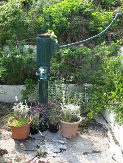 water pumpwater pump · 743 yd
 farm housefarm house · 784 yd
 Wild Atlantic Way: CléireVisitor information · 855 yd
 Oifig Fáilte Siopa CeirdVisitor information · 881 yd
 Trá CiaráinBeach / strand · 884 yd
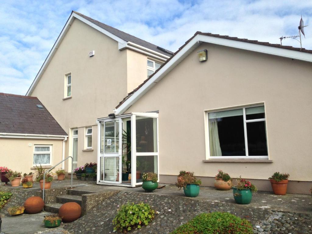 An Gleann LoopWalking route · 1346 yd
 CléireIsland · 1553 yd
 Cape ClearHeadland · 1.1 mi
Other information
Photo: Credit not shown in the picture search · Rights wording not checked; contact us if this picture should be removed