What is recorded here
Gallaun is a 1.98m standing stone in poor pastureland beside Lough Currane, County Kerry, tapering to a rough point with packing stones at its base. It stands about 160m south of another burial stone, suggesting a long line of markers along the water’s edge. People may have set it to remember the dead, mark a boundary, or simply watch the lake change with the seasons.
This stone is located in rather poor pastureland, about 60m from the SW shore of Lough Currane. Standing 1.98m high, it measures 1.4m x .8m at base; NE-SW. It tapers in both width and thickness towards a roughly pointed top, and a number of packing stones are visible around its base. The site is located c.160m S of a boulder-burial and standing stone (KE098-030001-).
The above description is derived from A. O'Sullivan and J. Sheehan (compilers), 'The Iveragh peninsula: an archaeological survey of South Kerry'. Cork University Press (1996), no. 134. In certain instances the entries have been revised and updated in the light of recent research.
Date of upload: 28 July 2013
This standing stone likely dates to the Late Neolithic or Bronze Age, based on its form and context. It may have had a ritual or territorial function, possibly associated with local landscape features such as Lough Currane.
The monument record does not grant public access. Check the route and ask the landowner before entering private land.
- What survives
- Recorded monument
Places near here
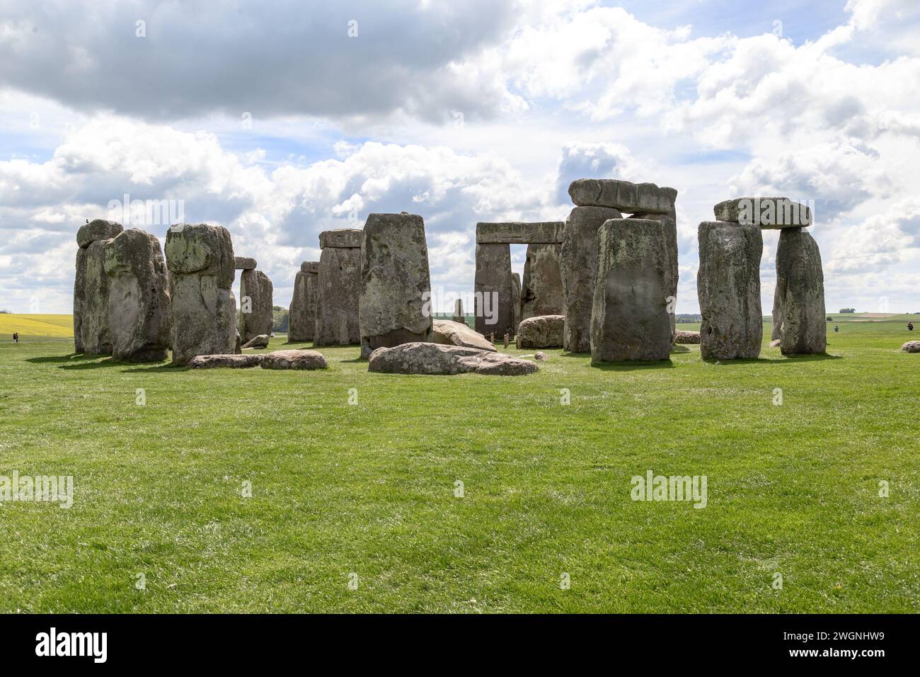 Megalithic structure in An Bhinn Bhán (uíbh Ráthach)Megalithic structure · 290 yd
 CavesMan-made underground passage · 297 yd
 Butler MemorialMemorial · 1186 yd
 Butler Memorial Fountainmonument · 1186 yd
 T. C. Millerick MemorialMemorial · 1246 yd
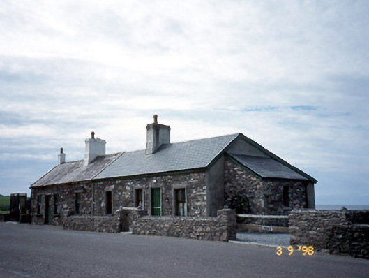 coastguard stationcoastguard station · 1255 yd
 Waterville PromenadeWalking route · 1308 yd
 CastleCastle, tower house · 1397 yd
 Inny StrandBeach / strand · 2.1 mi
 An Bheann MhórMountain / peak · 2.4 mi
 An PlaoscHeadland · 2.7 mi
 Reenrow BeachBeach / strand · 2.9 mi